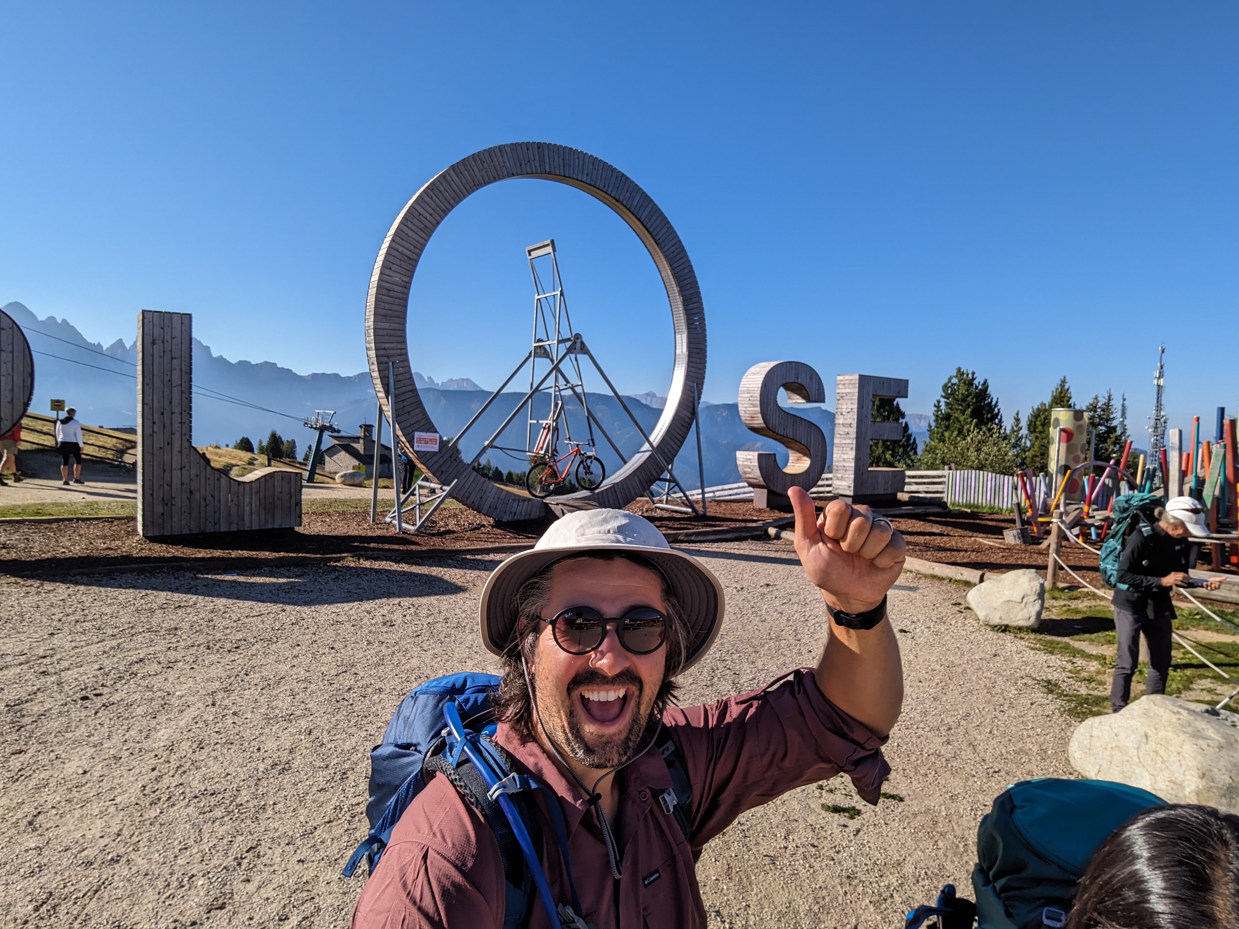
We did a shortened 5 night hut to hut hike on the Alta Via 2 trek in the Dolomites. Alta Via 2 starts at the top of the Plose gondola station near Bressanone (in German Brixen), in the South Tirol region of northern Italy (debatably our favorite part of Italy).
Alta Via 2 can be completed in 10 to 16 days but we chose to do about half the trail in about 6 days of hiking. Via Ferrata gear is highly encouraged (rented ours in Trento). Getting reservations at the huts are all different, and a lot of sold out well in advance. We got lucky as V is very determined, so we emailed/WhatsApped a bunch of spots and put down deposits whenever possible. Some just replied “ok” without any confirmation/deposits.
Day 1: Plosse to Rifugio Genova
10 miles, 4900 ft elevation
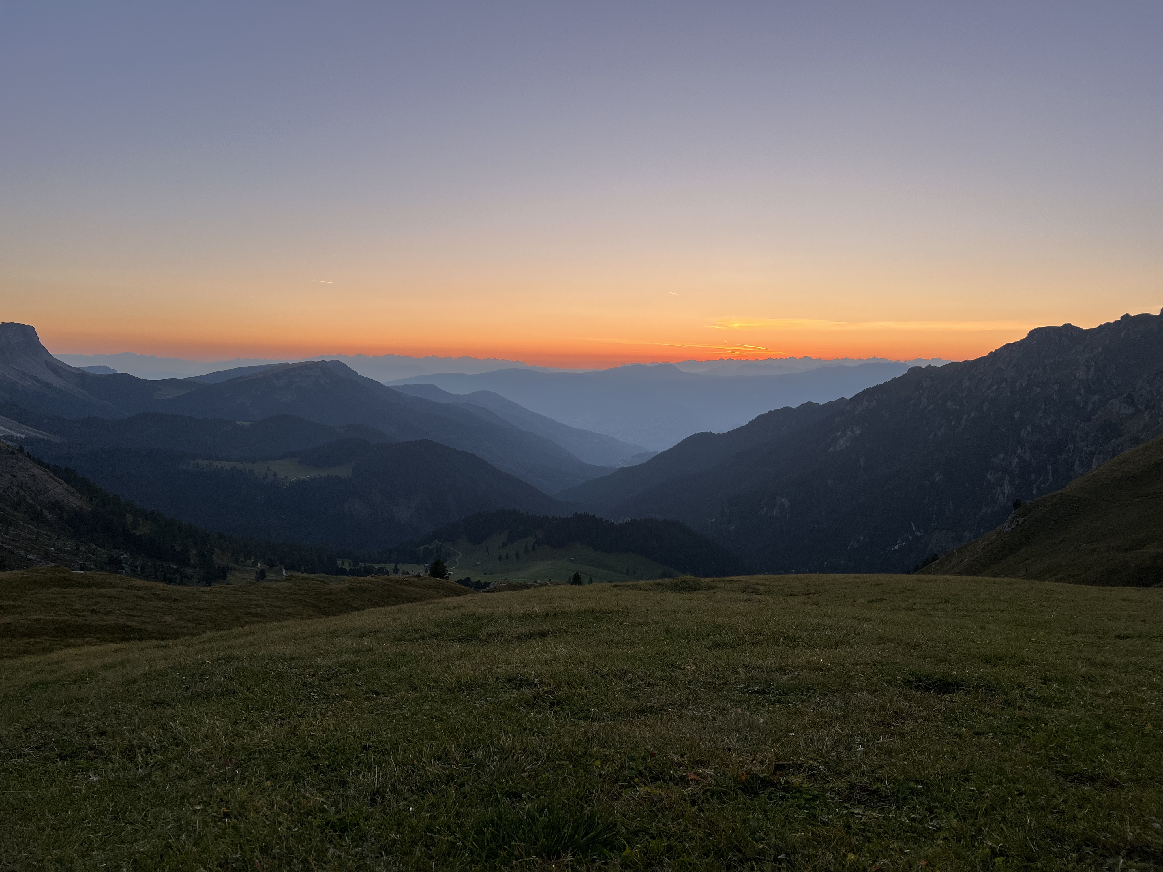
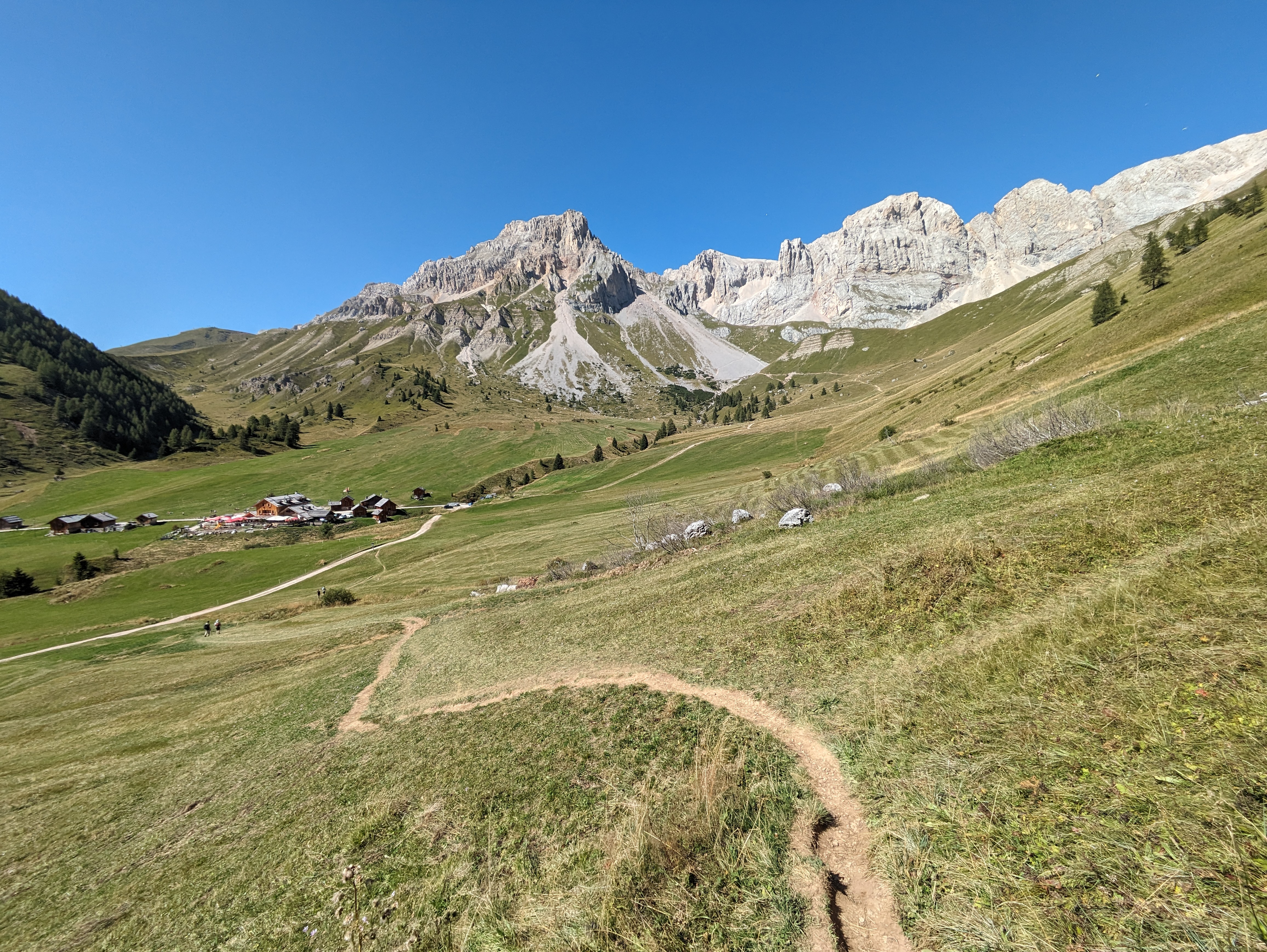
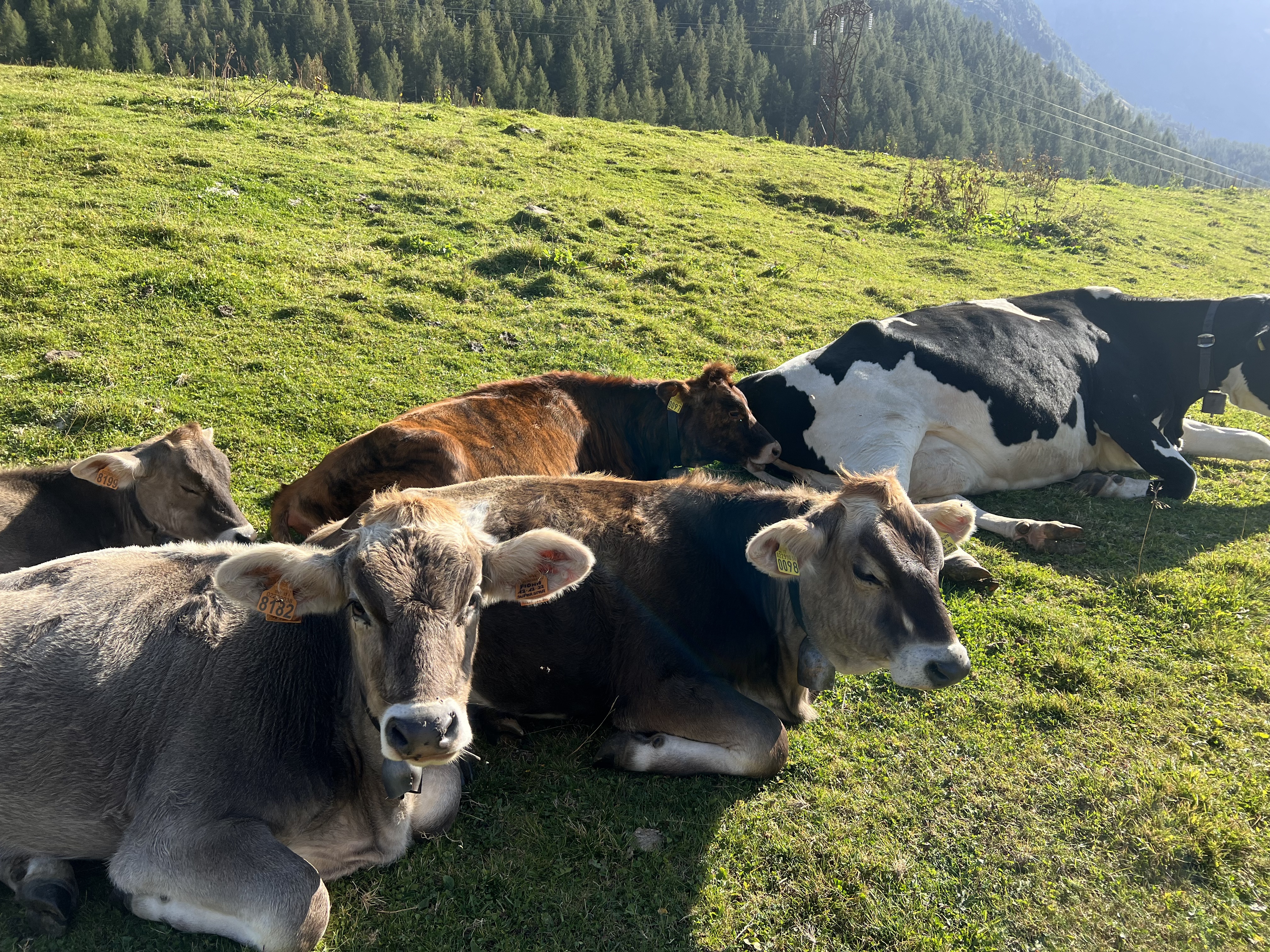
We woke up early and took a direct train from Trento to Brixen (Beef loves trains). On the way we saw the magical Italian Alps form around us as we passed many beautiful towns full of farms and vineyards (something we returned to later). From the train station we took a bus to the mountain/ski town where we took the Plose gondola to our starting point (could always hike up, but we had a long day ahead of us.) After getting off the gondola the hike starts uphill on path no. 3 all the way to Plose hut. This hut can be reached within 1.5 hours of walking but our stay was a but further so we kept hiking along for about 9 miles to Rifugio Genova. Highlights of the day were the sheep and cows everywhere. Cowbells sound like music and of course the views. The route is pretty well marked, but definitely recommend some sort of tracking apps.
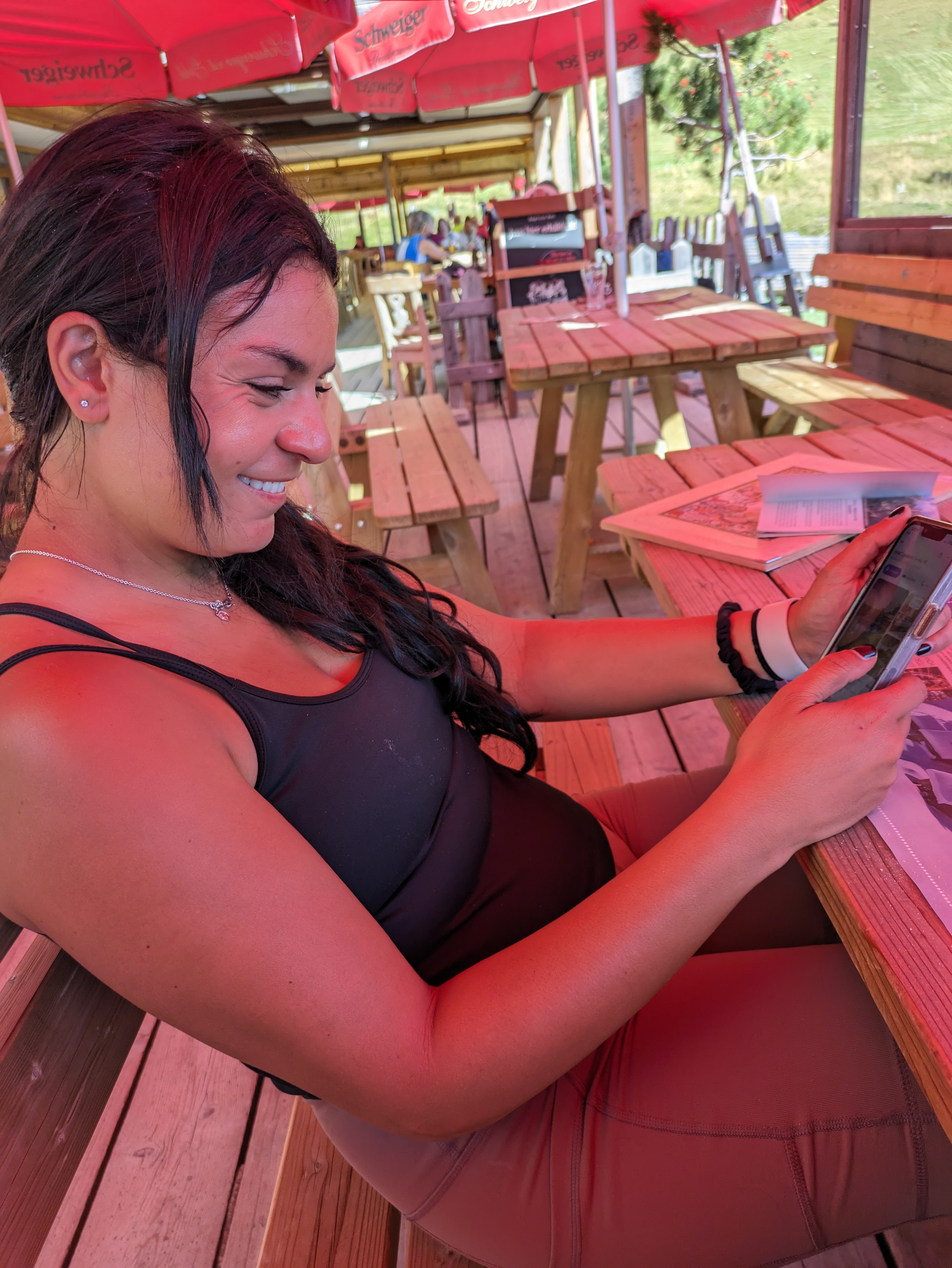
I fondly remember our stay at Rifugio Genova (German: Schluetterhuette). The hut is very well managed, and despite being one of the busiest huts in the area, the staff was incredibly friendly, the food was delicious, and the rooms were very clean and spacious! We reserved our own private room and shared bathrooms with the rest of the hikers. We also super appreciated that this hut had showers! We enjoyed an amazing sunset with a liter of white wine before we went inside to have our lovely dinner which was included with the overnight stay fee. We were not sure what this experience would be like (V was very worried about Beef and how he would hold up), but this was like being in a 4 star hotel, but better.
Strava link: https://www.strava.com/routes/3274156978811143014. This section took us about 6 hours with stops.
Day 2: Rifugio Genova to Passo Gardena
11 miles, 4700 ft elevation
Most routes suggest going from Rifugio Genova to Rifugio Puez but Puez was fully booked so we extended this day and hiked down into Passo Gardena. This day we hiked about 11 miles to Rifugio Frara which was located in a small village so wasn’t exactly the same type of mountain hut as the night before. Here we had a private room and bathroom (so a hotel), what a luxury.
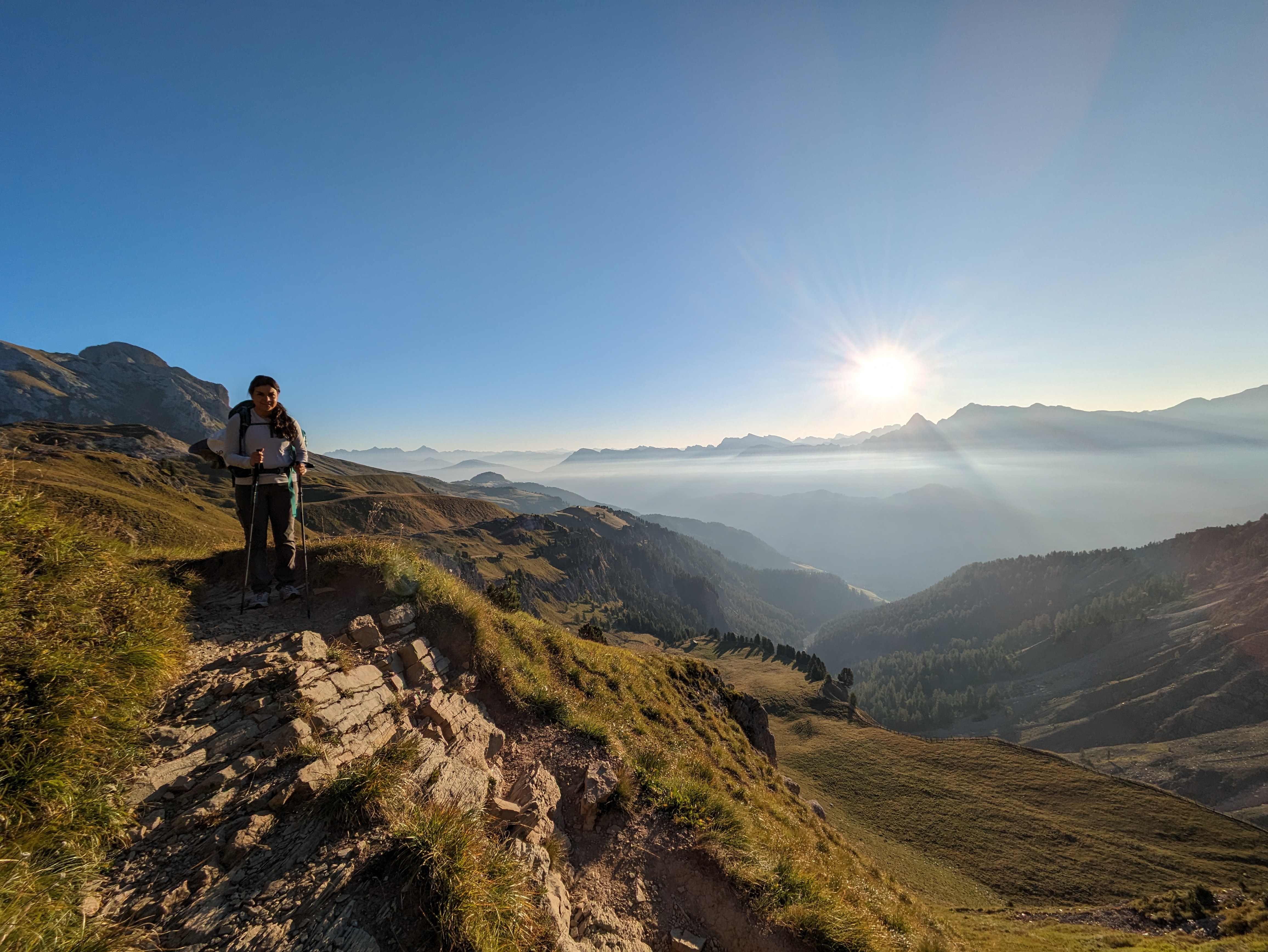
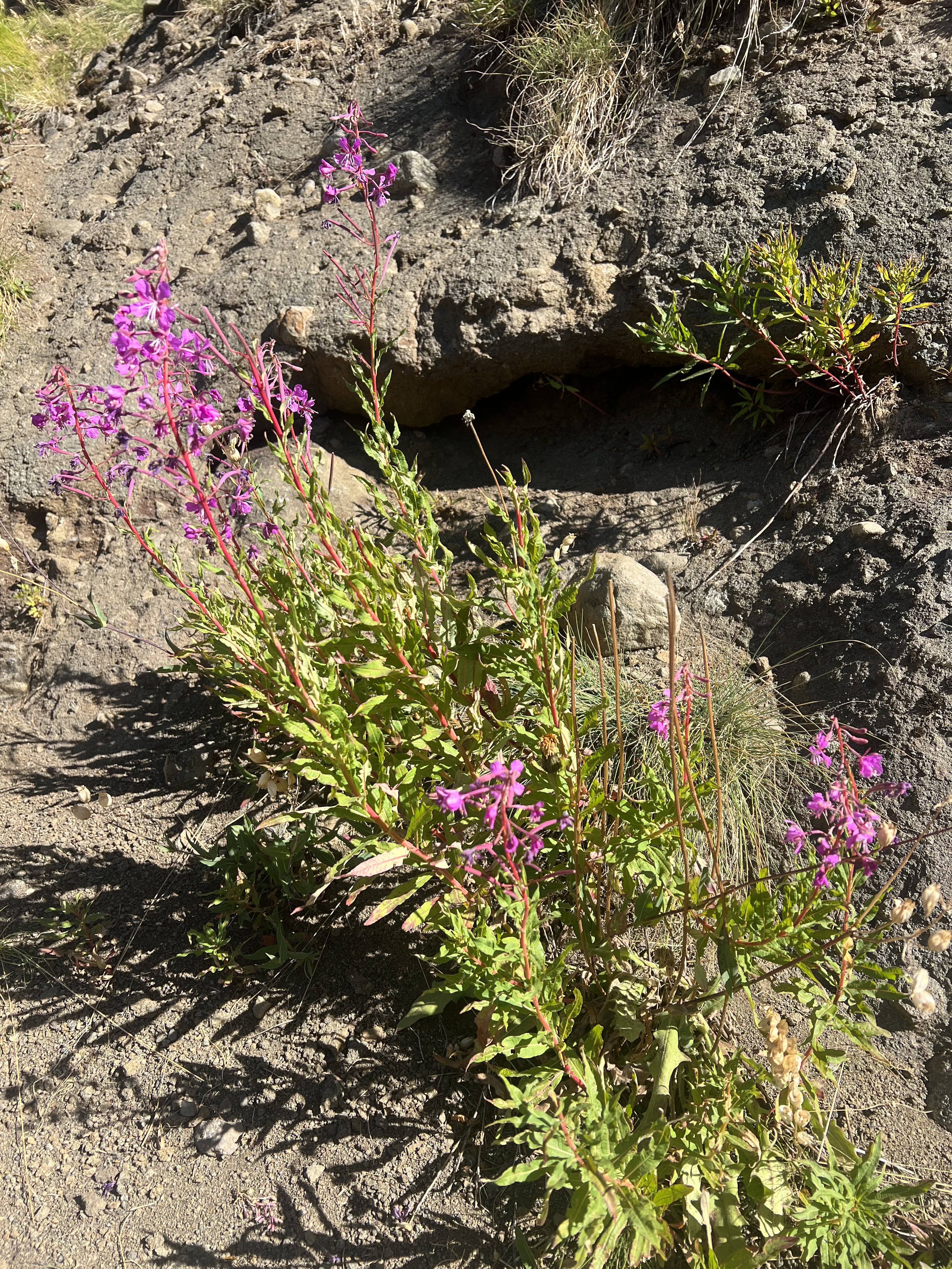
As we skipped breakfast to get the sunrise view/jet lag, the day started early with a little climb as you cross flower-covered slopes hiking towards a col from which beautiful views of the Odle group stretch ahead. These views are epic!
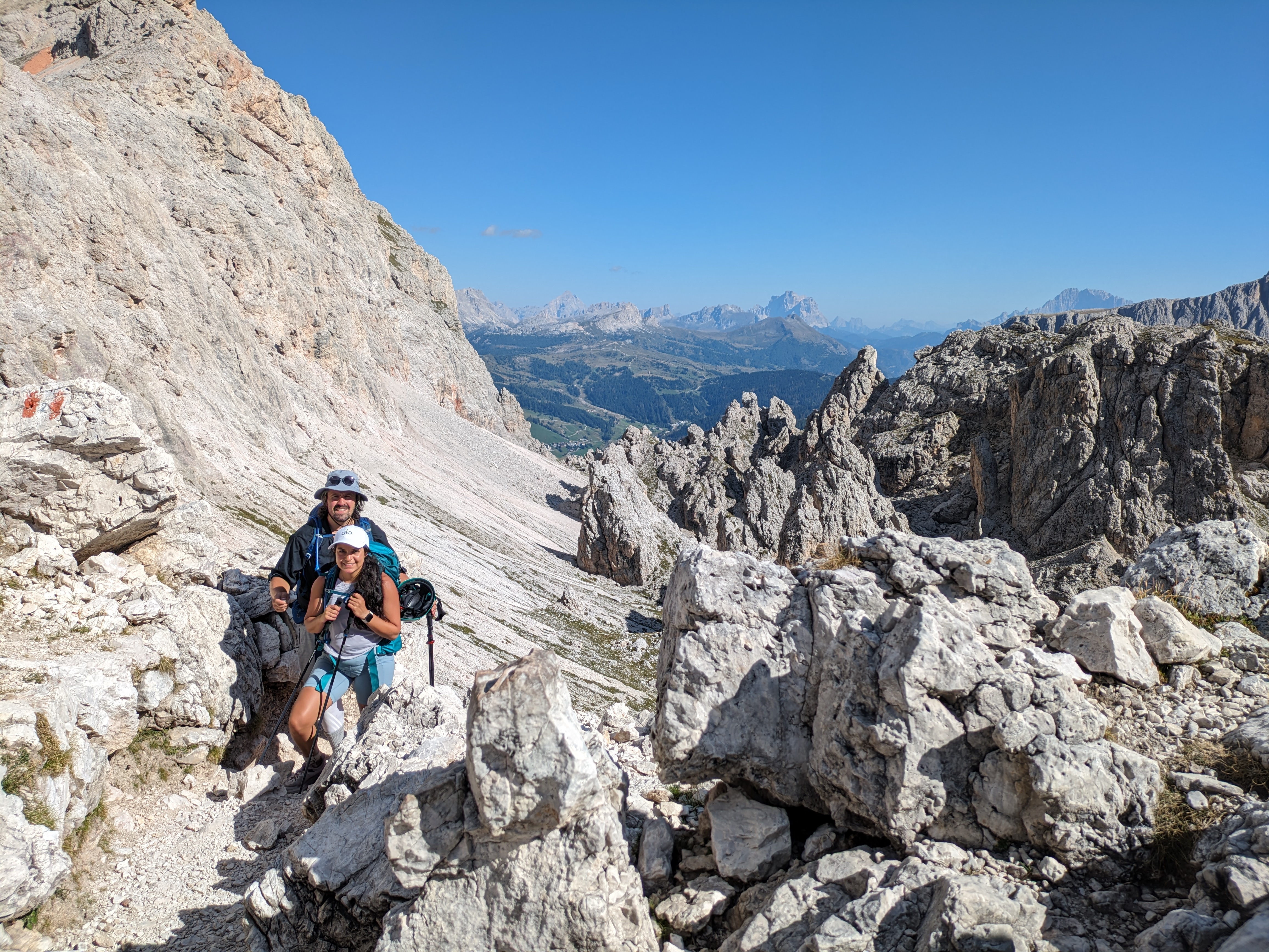
We crossed two two saddles so had some serious climbs today. The first one – Forcella della Roa, is reached via seemingly countless zigzags on a scree slope. Which you see coming for a few miles, hoping that isn’t what you are about to do. For the second saddle, we encountered our first via ferrata section. V was quite nervous but we met some fellow, more experienced hikers that guided us through and it ended up being totally fine! Tough but fine.
A bit after the via ferrata we stopped for lunch at Puez and enjoyed some sandwiches and sparking lemonade. A few minutes after leaving Rifugio Puez, you will see the U-shaped Vallunga, which translates directly as “The Long Valley.” This view will set the bar high for what’s to come. The rest of the hike had some awesome views around very cool rock formations.
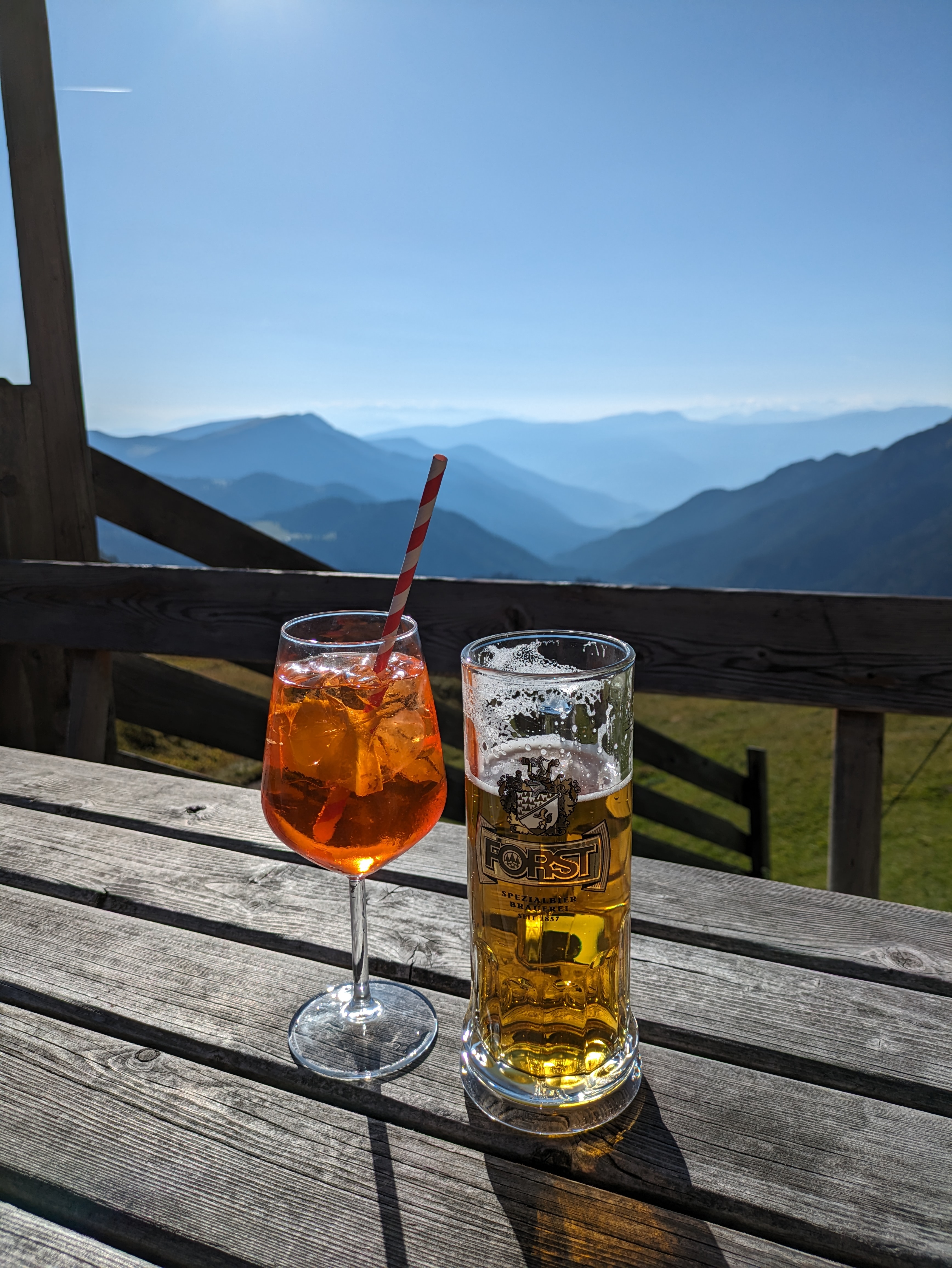
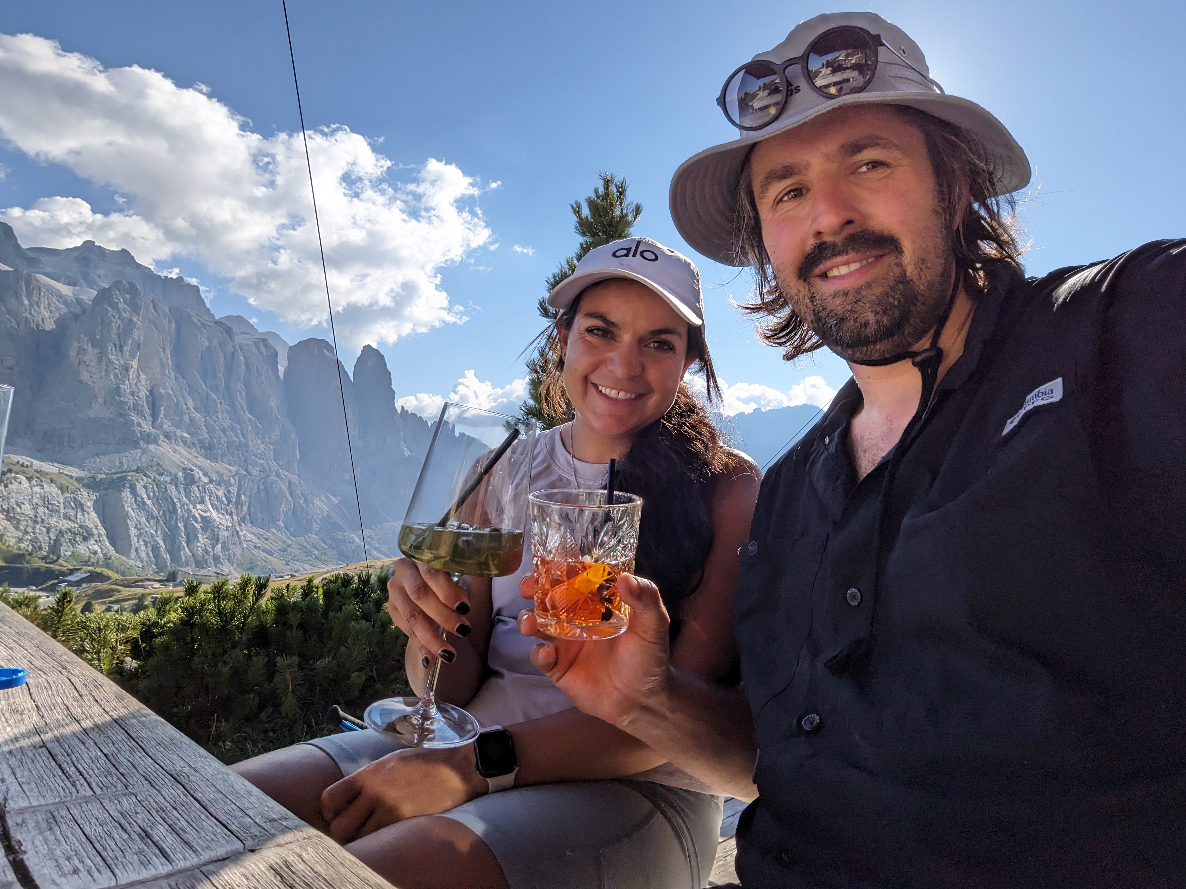
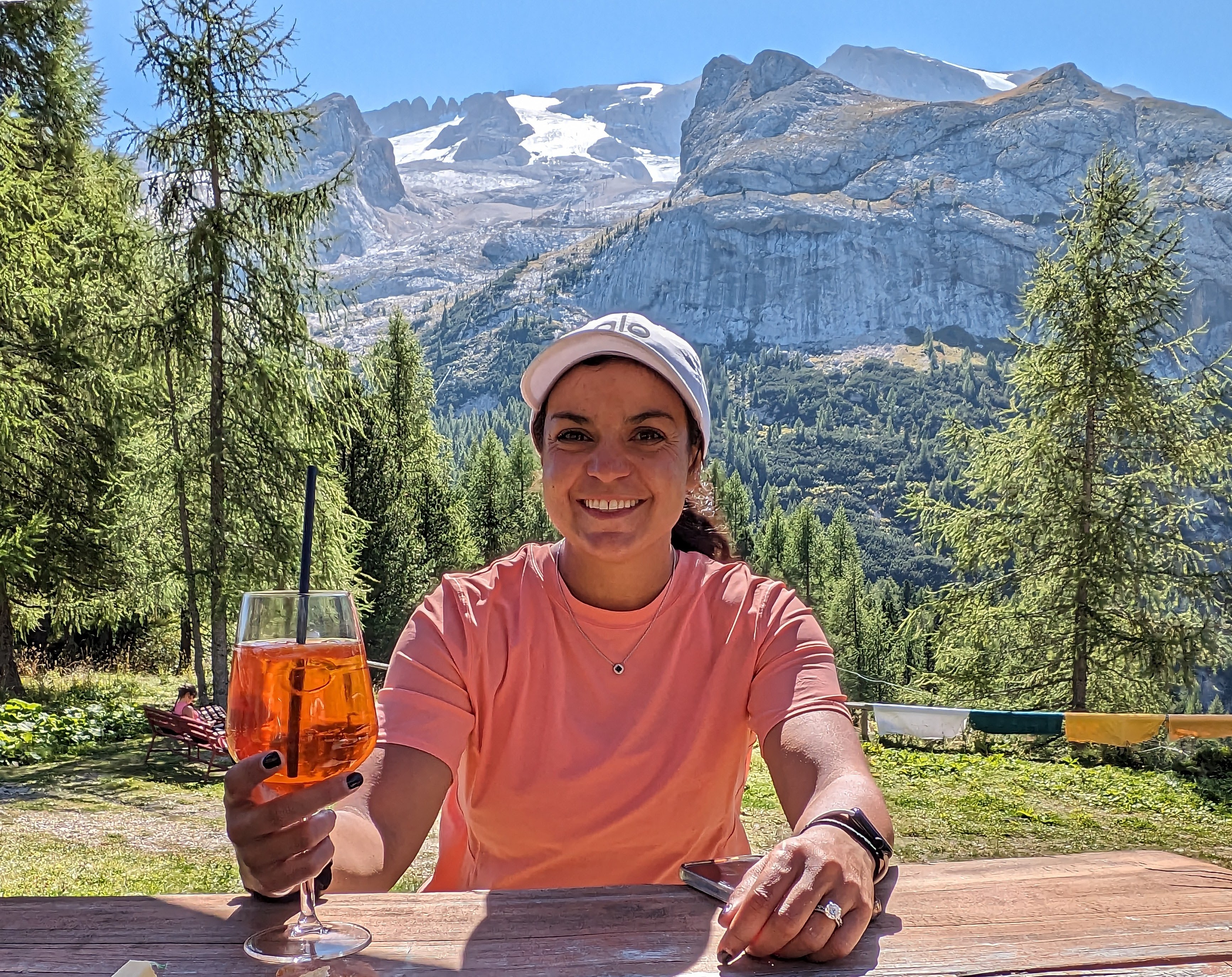
After this we began the descent from Forcella Cier heading to Passo Gardena. At this point, we were so tired but we could see the town below! About 15 minutes before reaching Passo Gardena we stopped at Jimmy Huette for some spritz with a view (Beef couldn’t resist). They have very comfy looking bean bags outside and I was so tired I was ready to spend a few hours snoozing away in the sun.
This was seriously no joke, we were exhausted but we were as content as could be!
Strava link: https://www.strava.com/routes/3274164734090091366. This stage took us 7hr with stops.


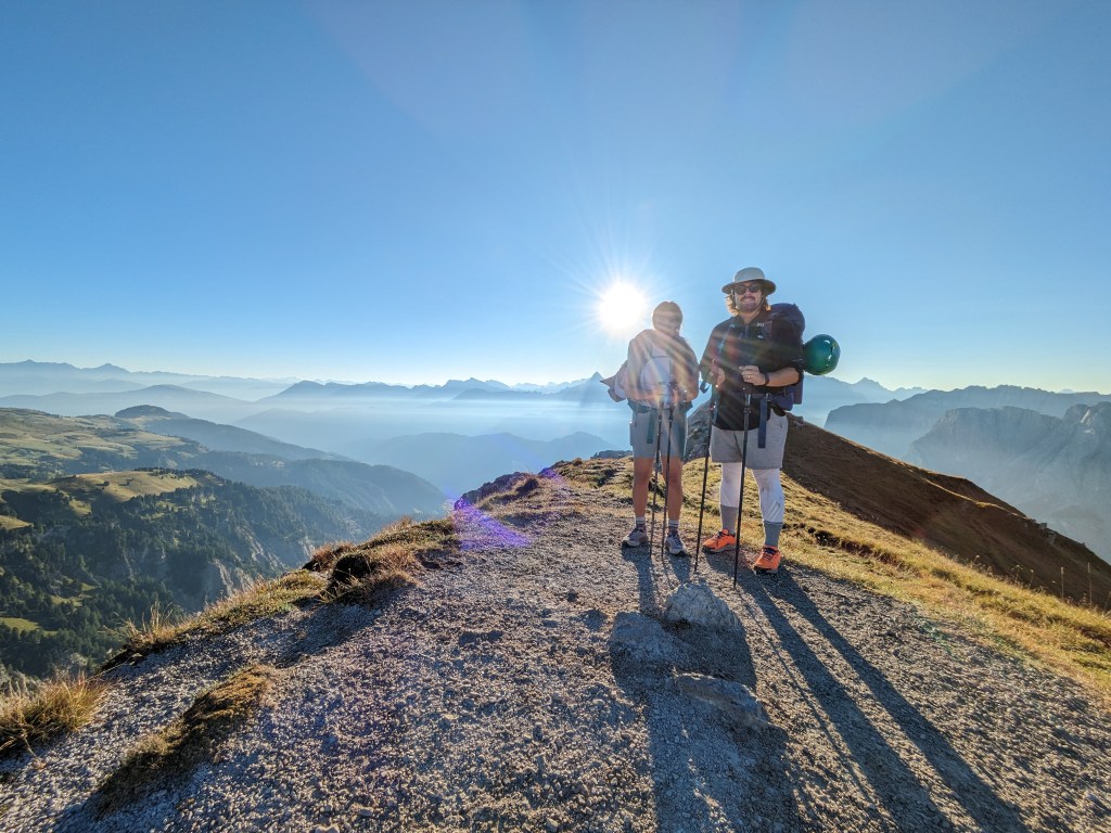
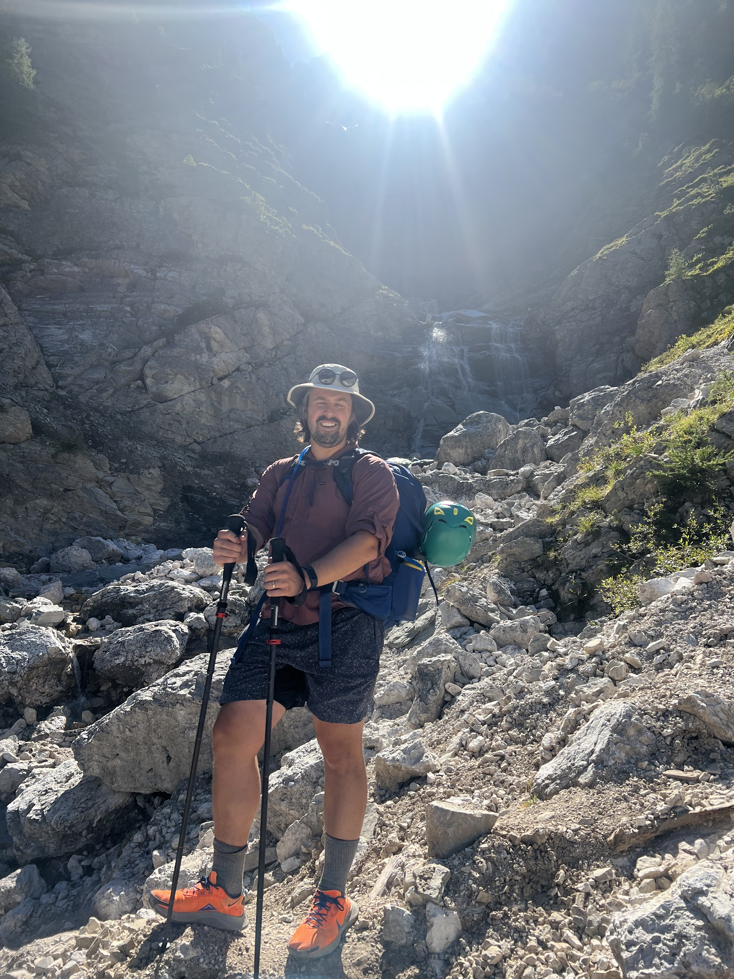
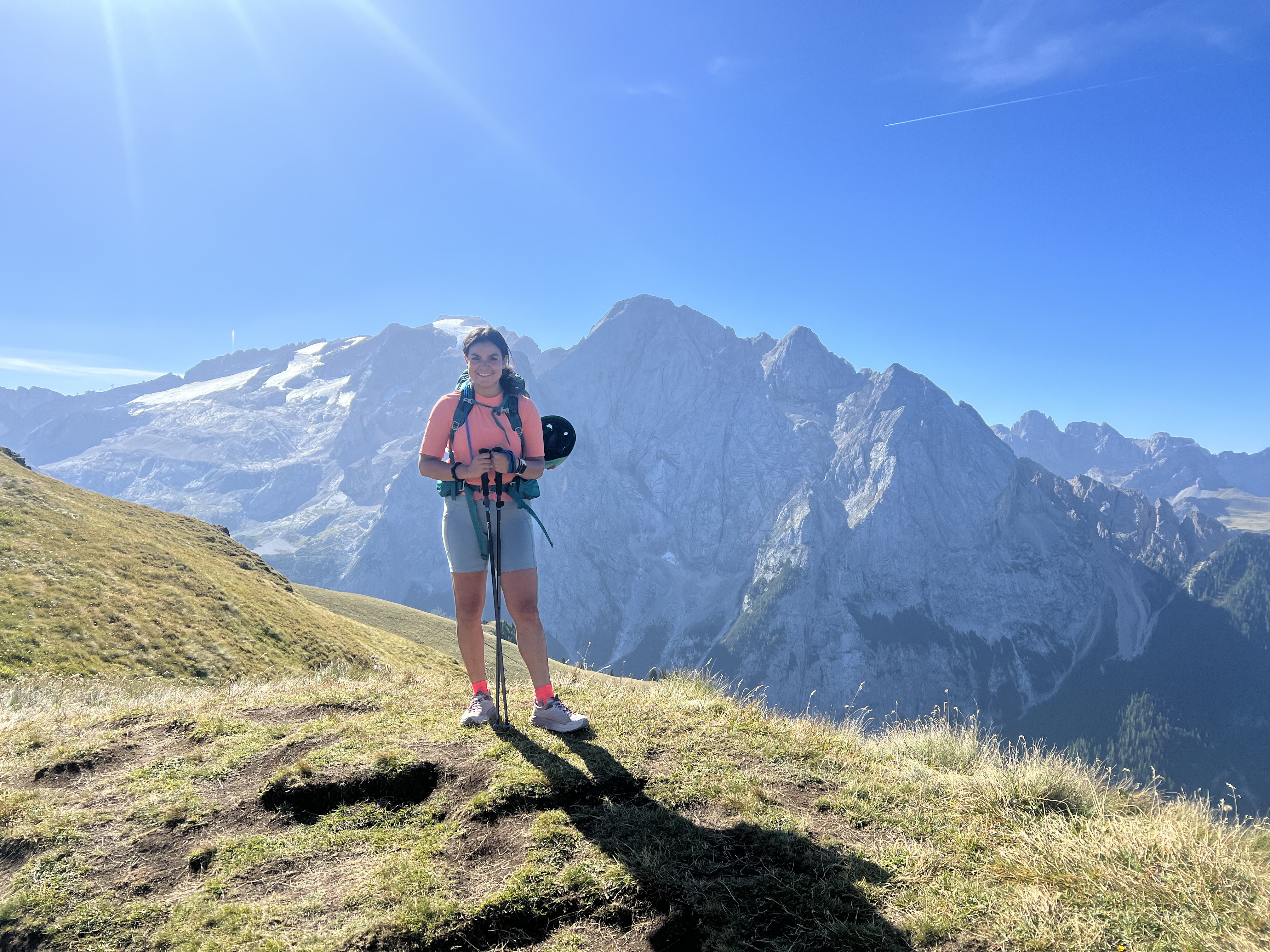
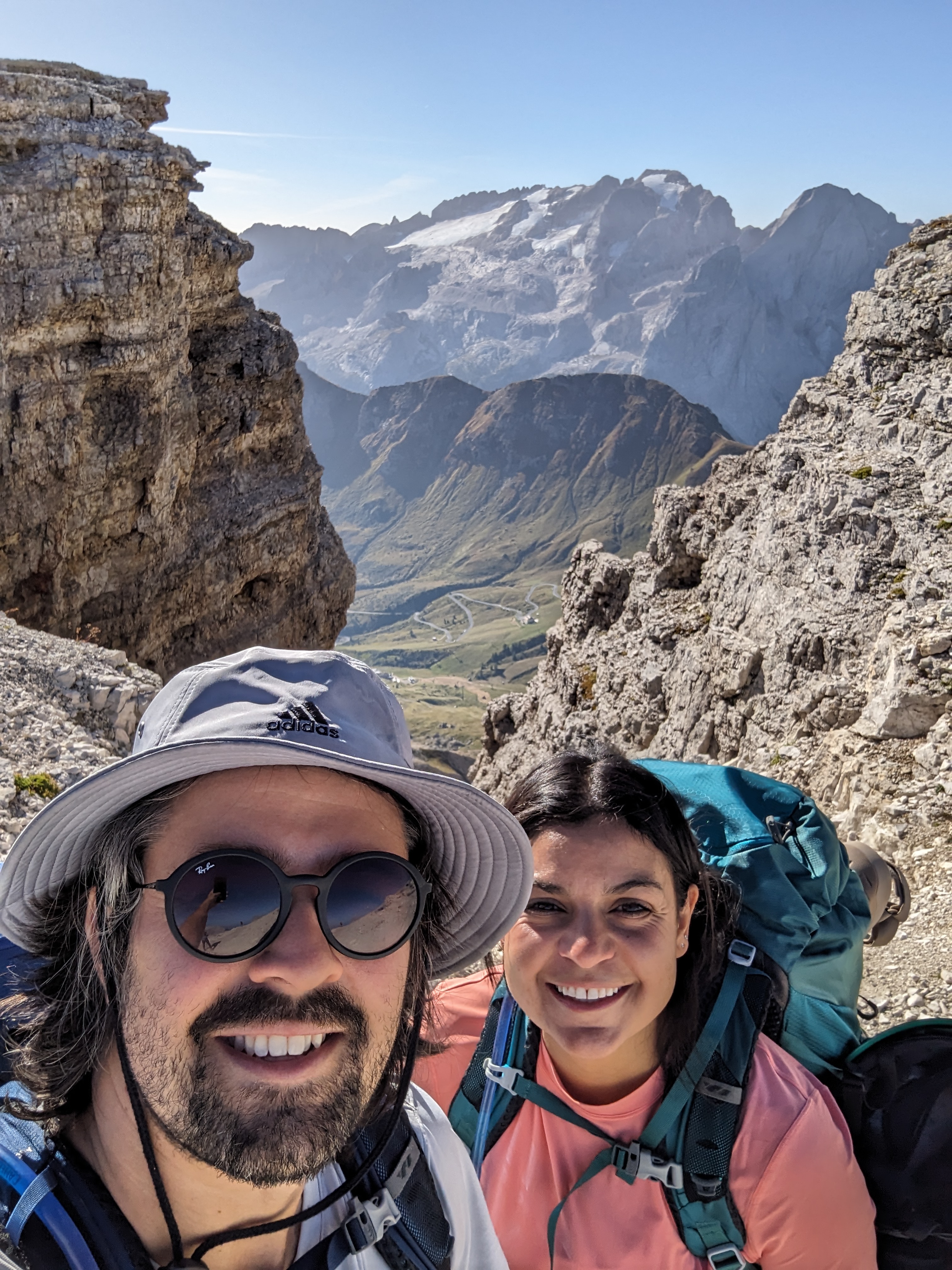
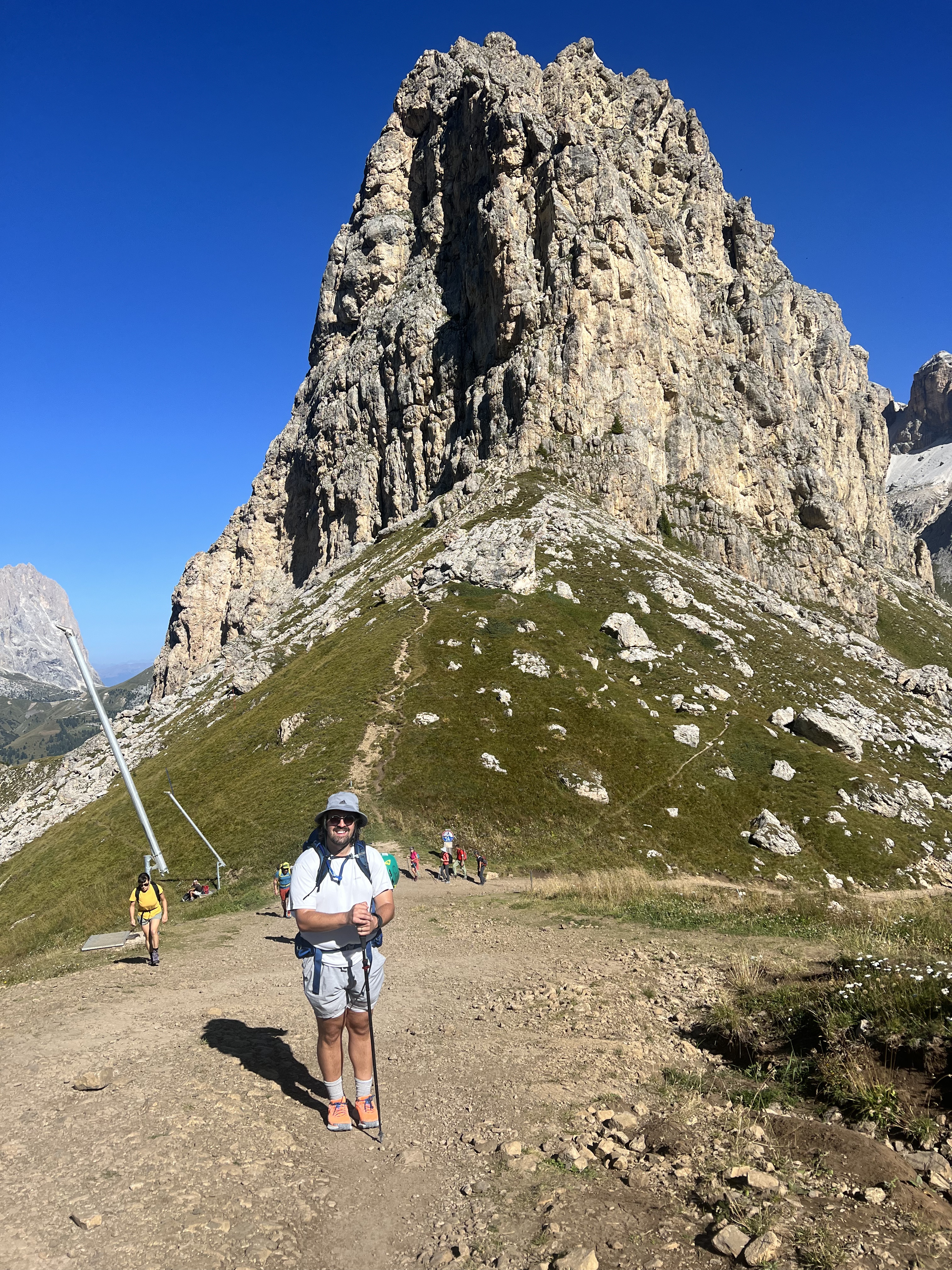
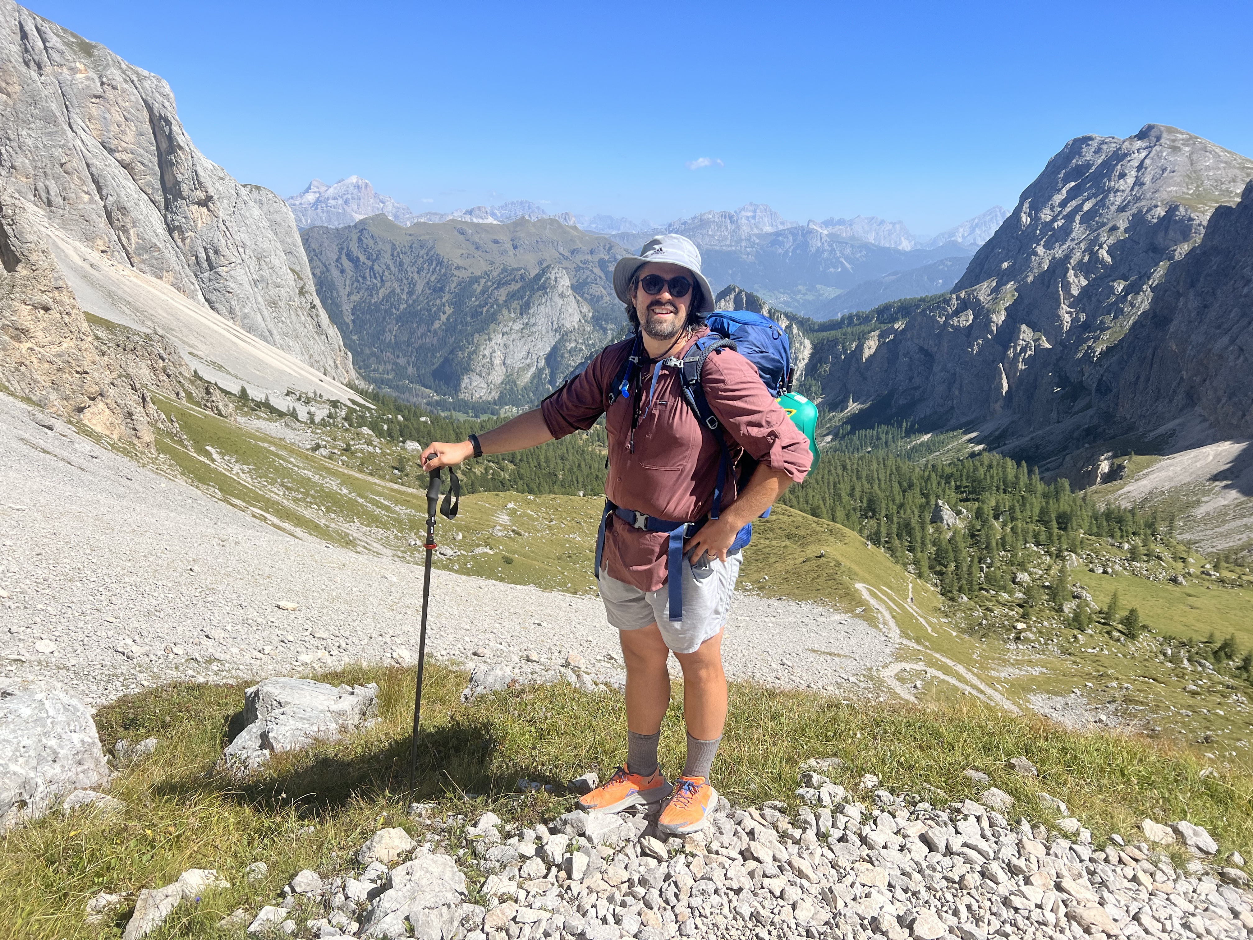
Day 3: Passo Gardena to Piz Boe (Rifugio Capanna Piz Fassa di Bernard Guido)
6.5 miles, 5600 ft elevation
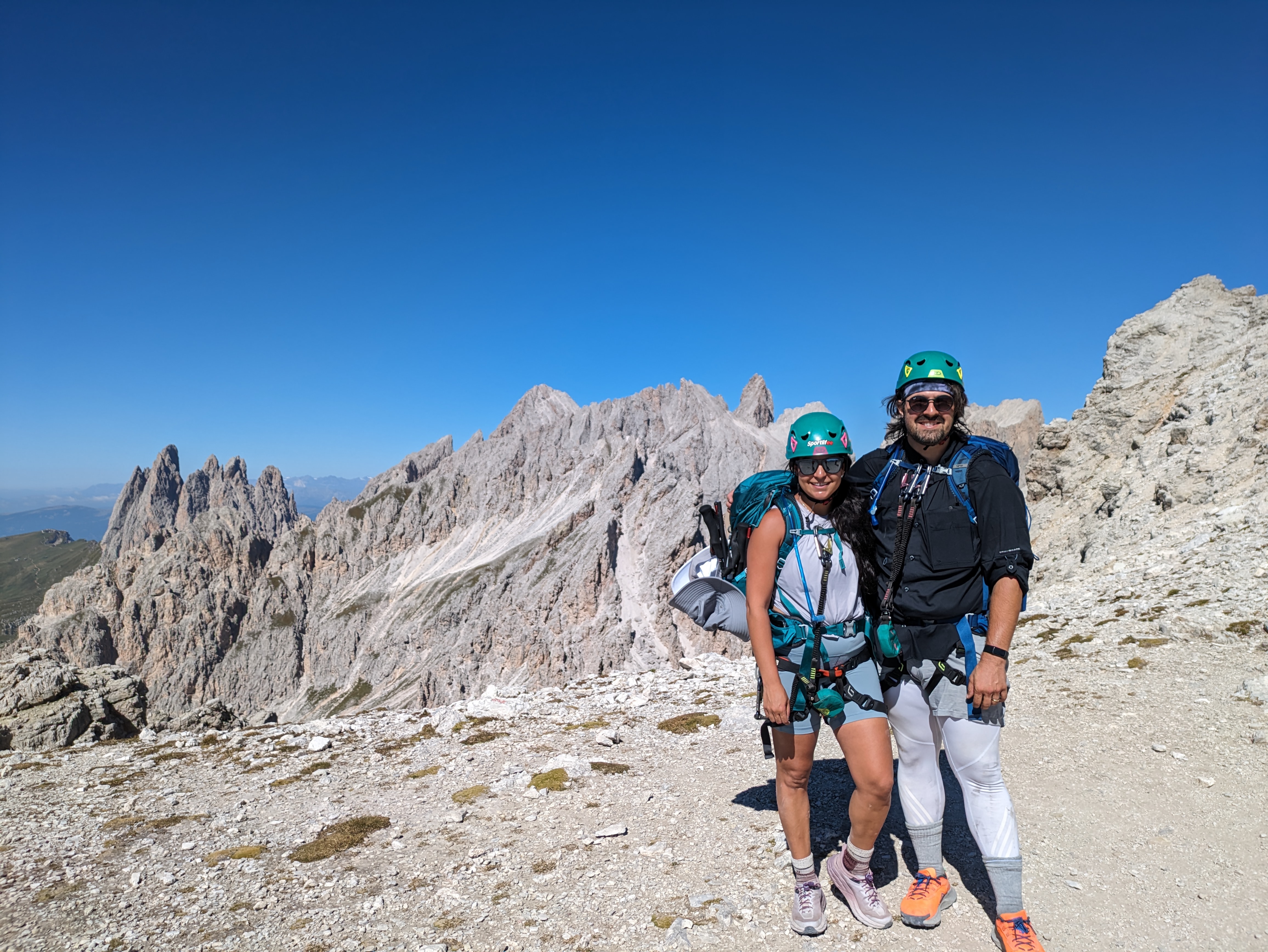
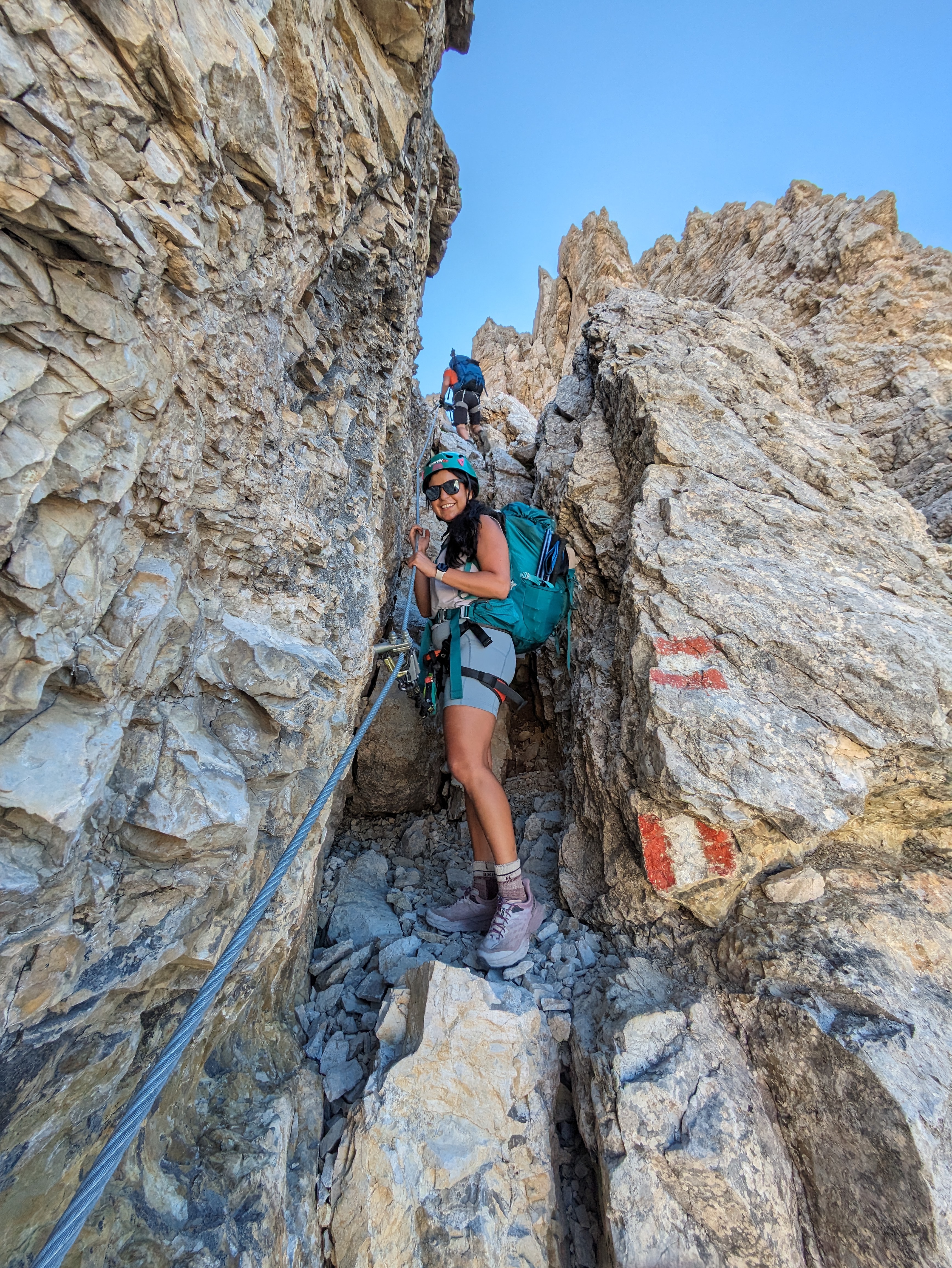
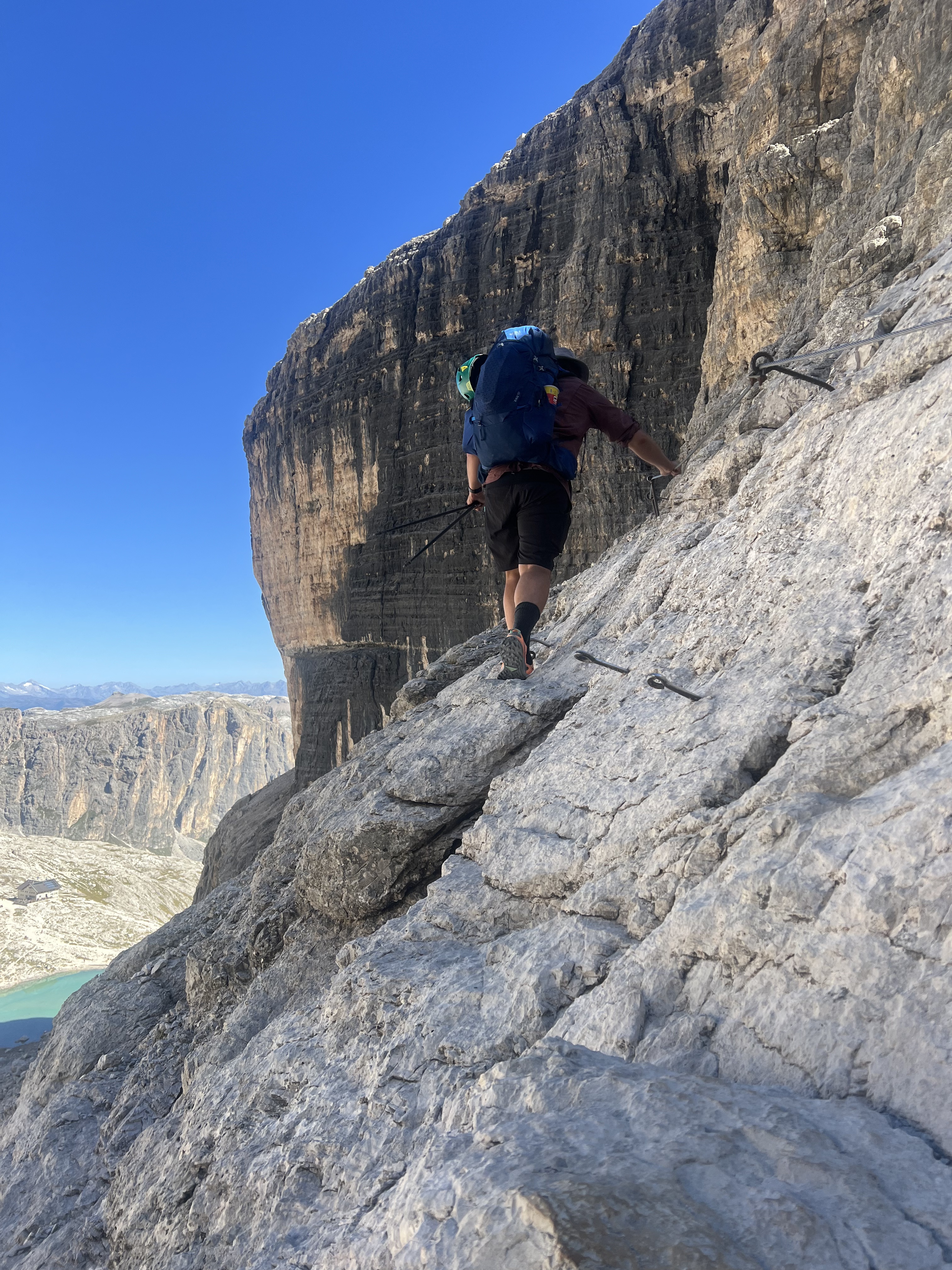
Today we woke up at dawn, refreshed with showers and clean clothes and headed out! We continue our journey on the infamous path no. 666. Most of this section climbs through a steep scree slope in Val Setus. The last 30 minutes consist of a cable-aided section to continue your journey on path no. 666. Most of this section climbs through a steep scree slope in Val Setus. 666 is an adequate number for this part of AV2; the devil must have created it. We used our via ferrata gear in this section (and we chose the easier route). This is when Beef lost the first hat of the trip.
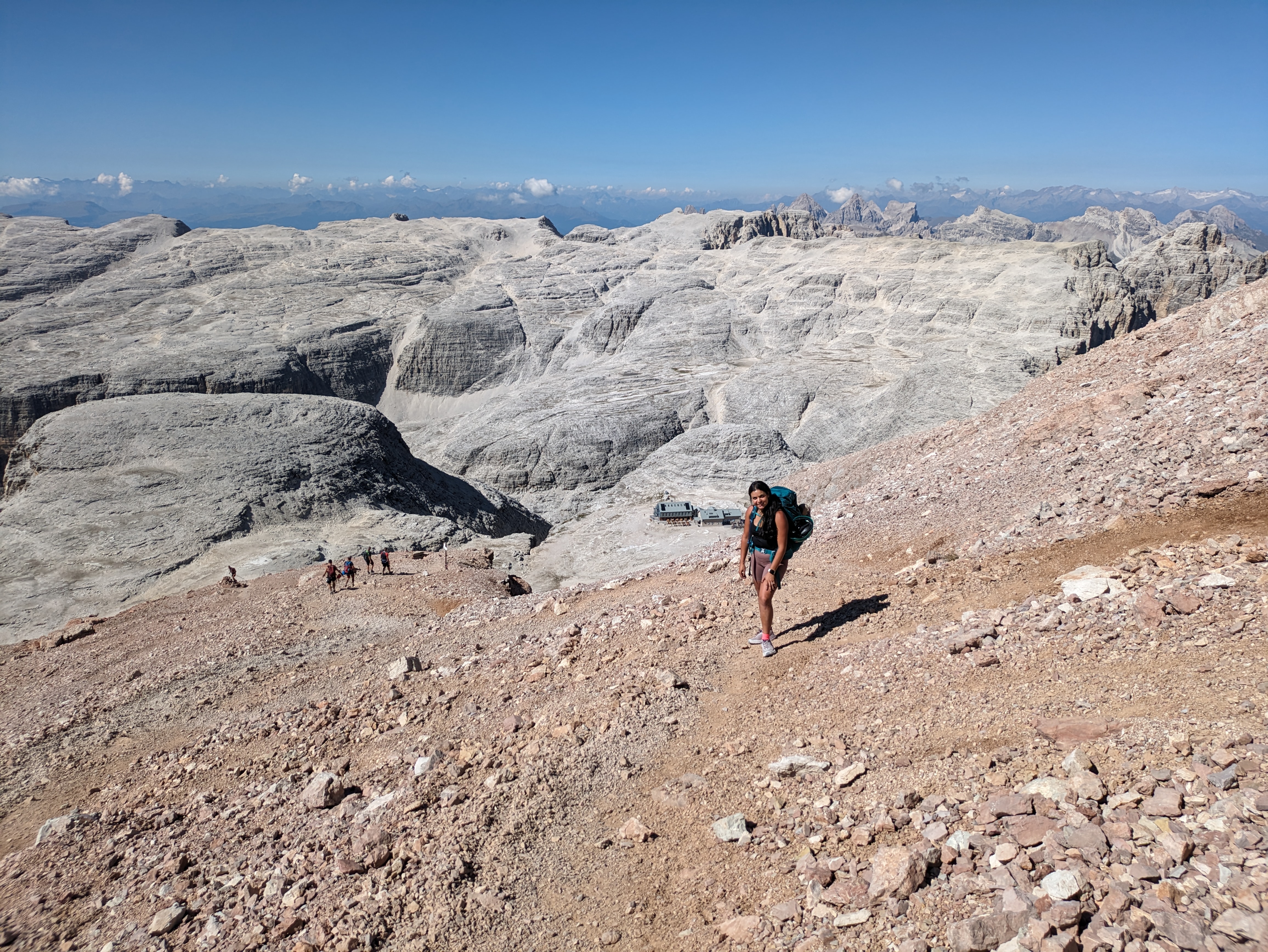
You’ll come across a few huts here. This section was pretty crowded because there was a gondola that reached the trail. To go from Rifugio Piscadiu to Rifugio Boè, you continue along path no. 666 through the barren, moon-like landscapes of the Sella group. It then turns into Path 649, followed by Path 647. We stopped for a quick drink at Rifugio Piscadiu, where there was a live band, as Beef smashed a morning brew. In a few hours, we got to Rifugio Boè. We needed to get a snack as our Rifugio Capanna piz Fassa was on Piz Boè, the highest summit in the Sella group. From Piz Boe, we followed 638 following signs for Rifugio Capanna Fassa, 885 feet up (one way was up, one was down, which of course Beef didn’t think was the case). This climb was a little sketchy and took us about 45 minutes.
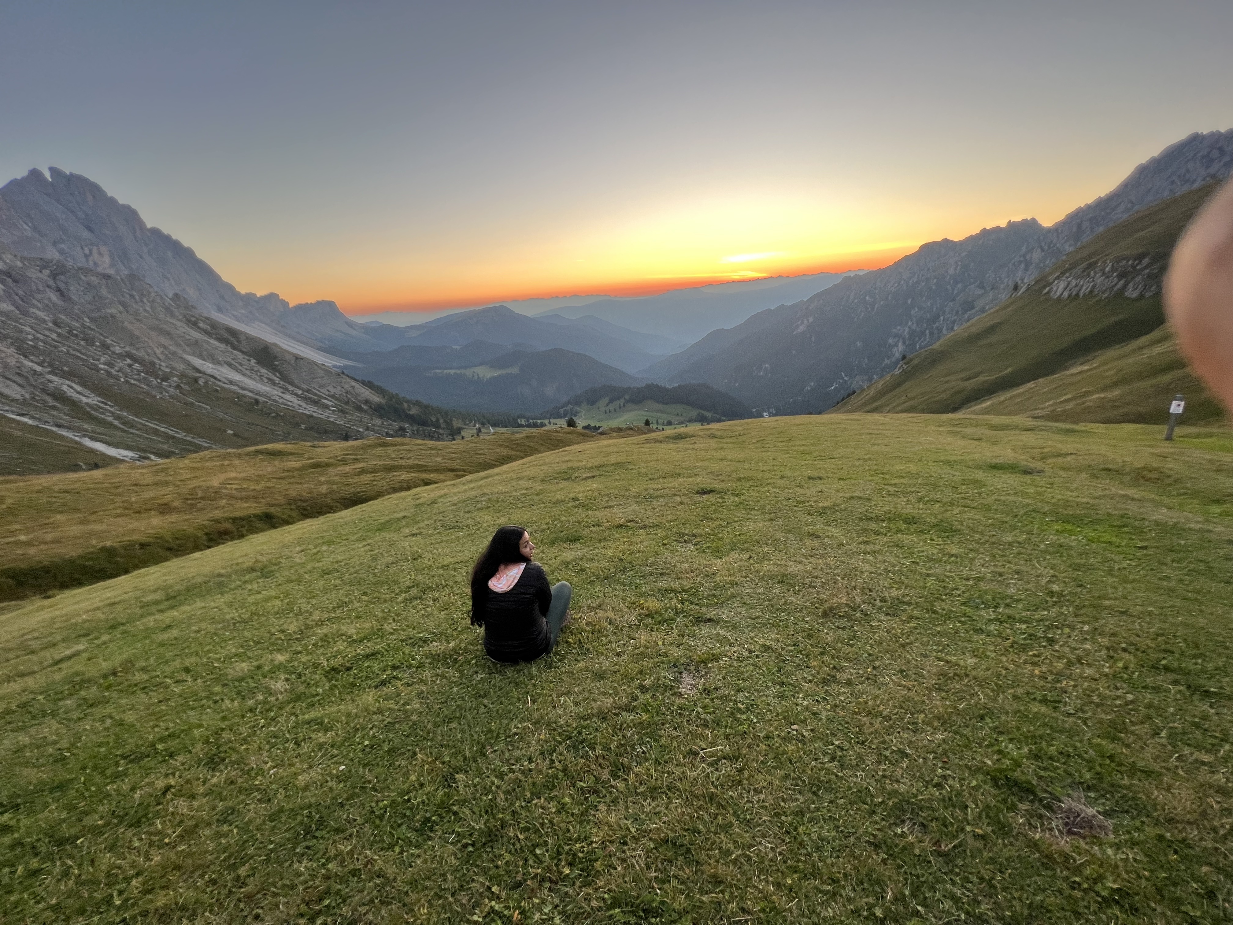
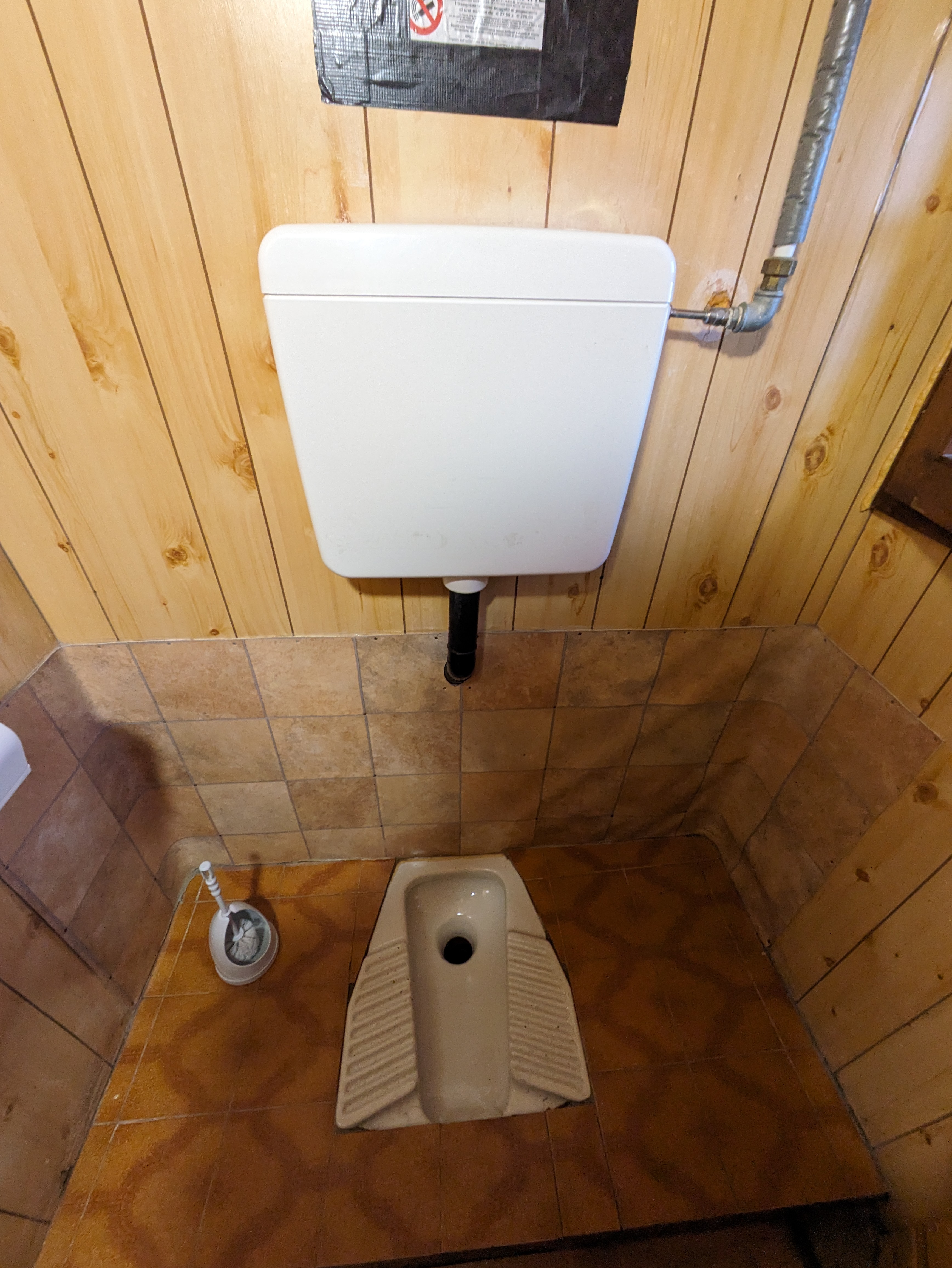
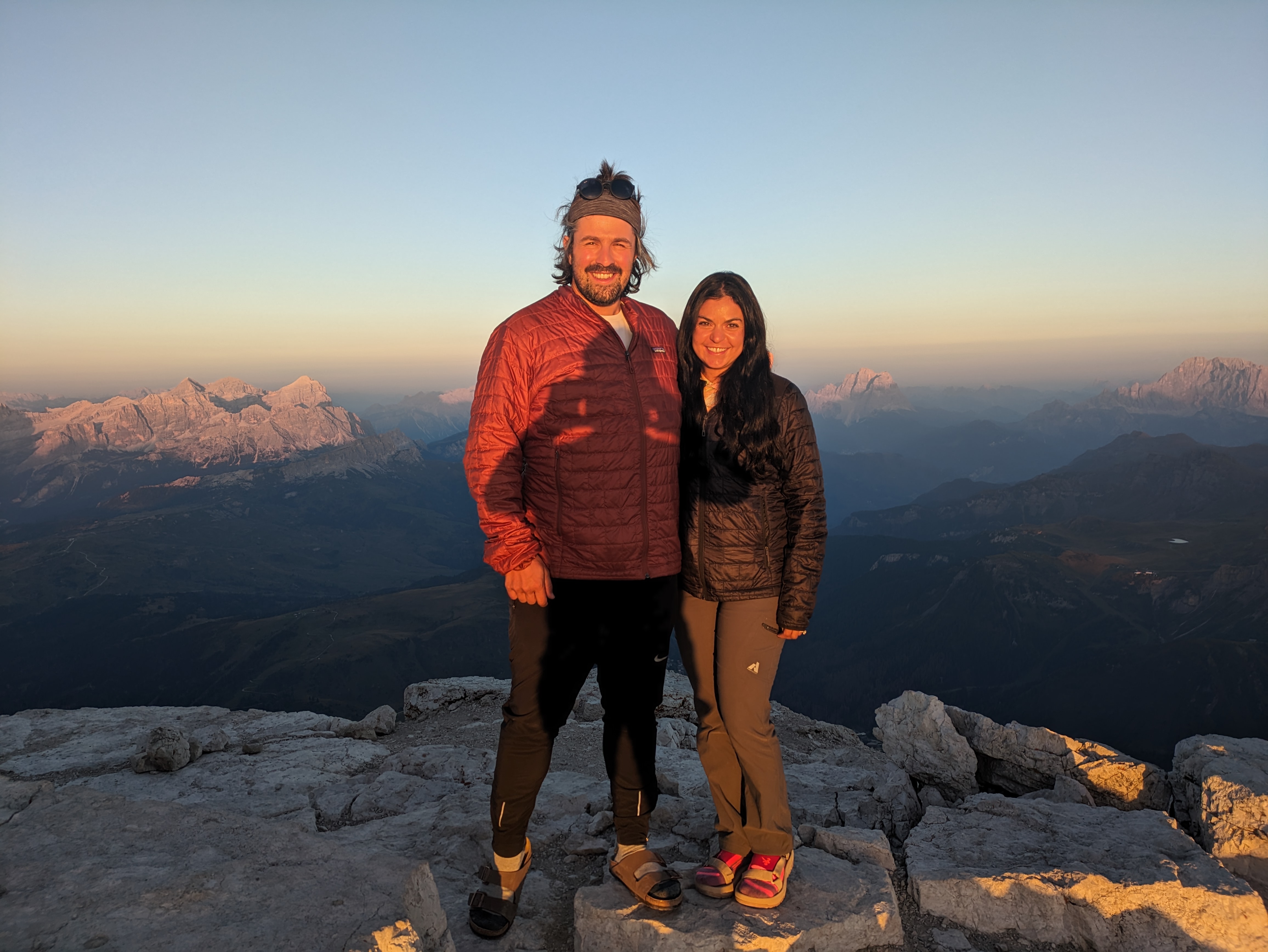
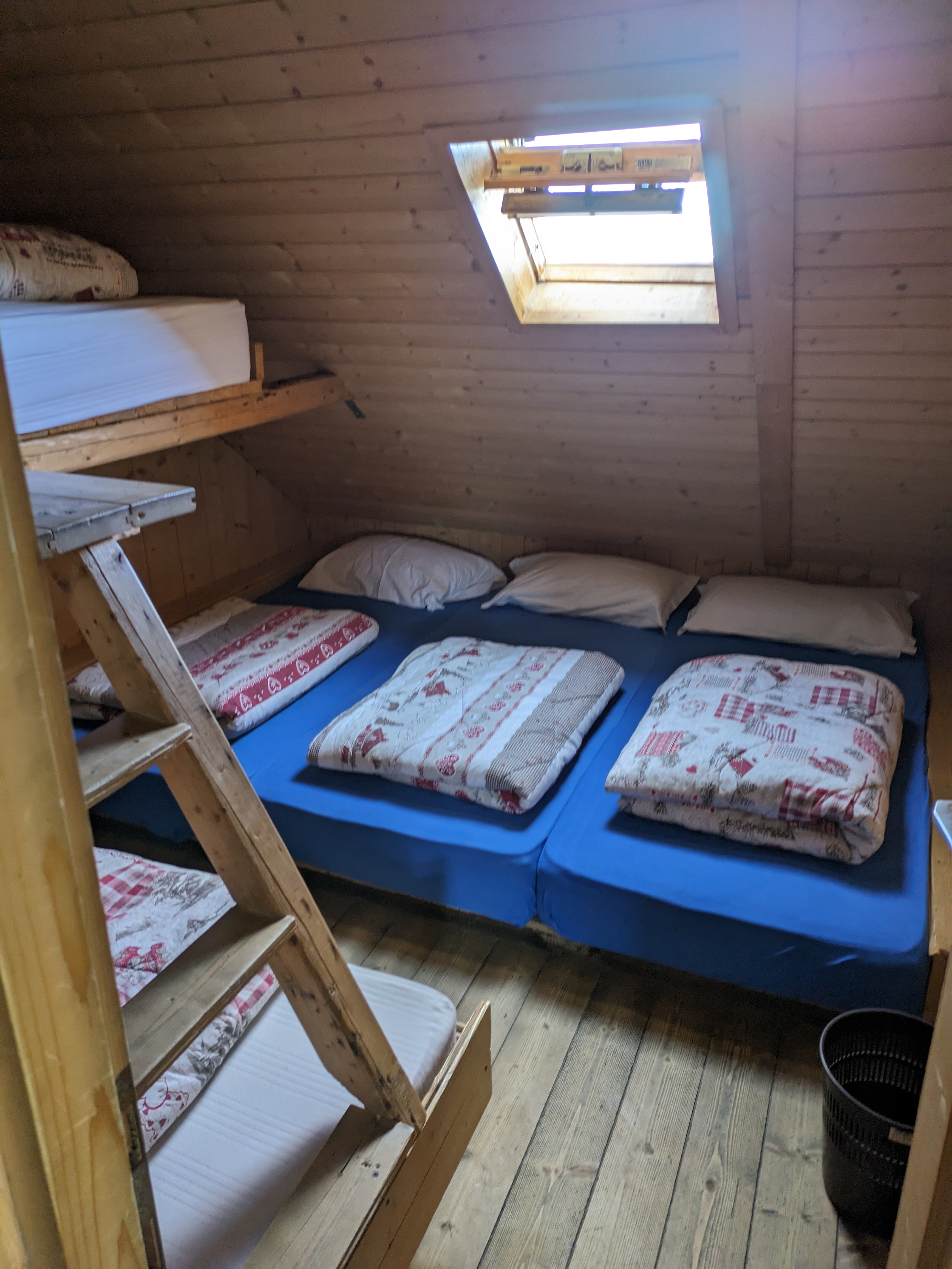
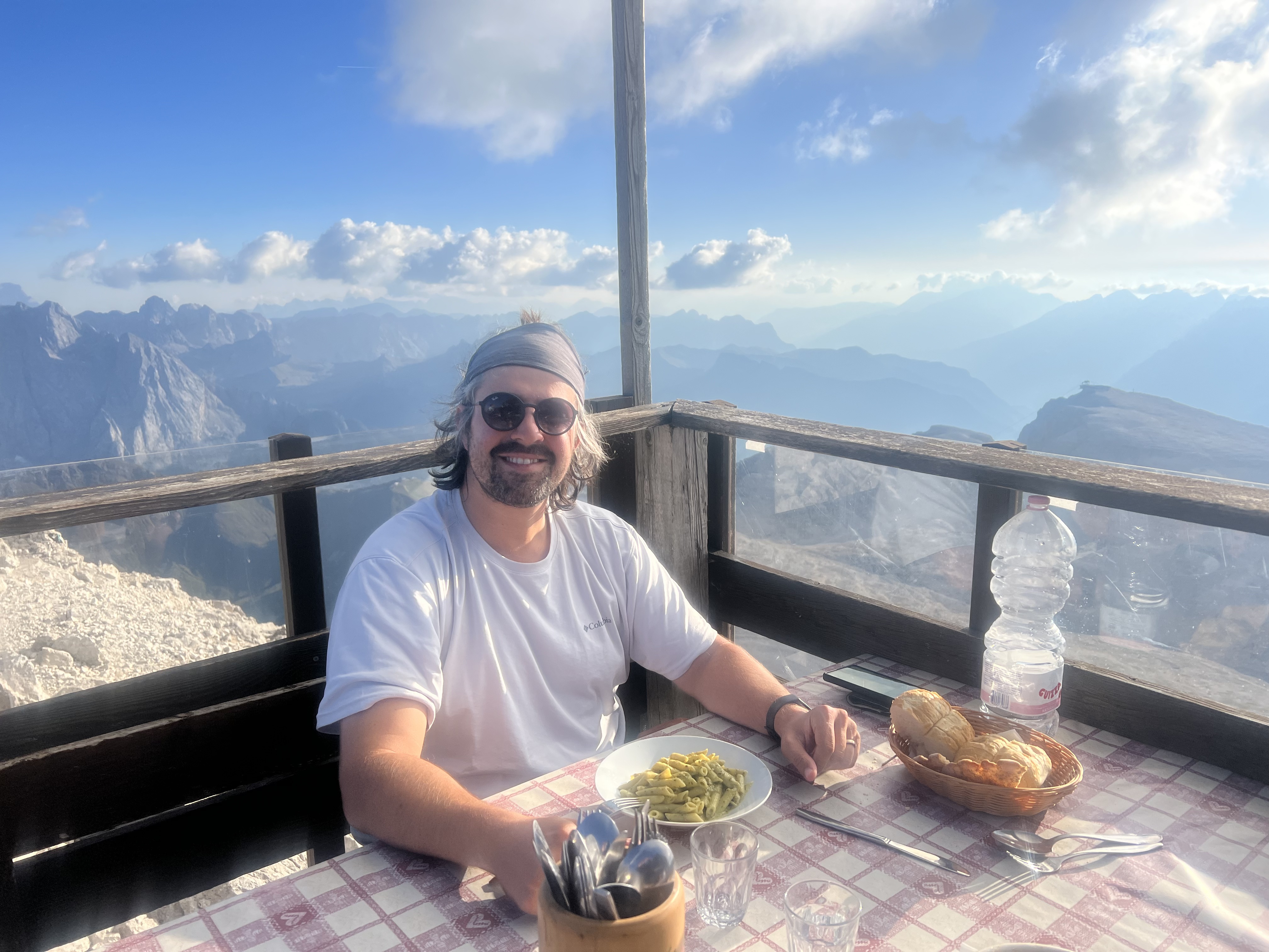
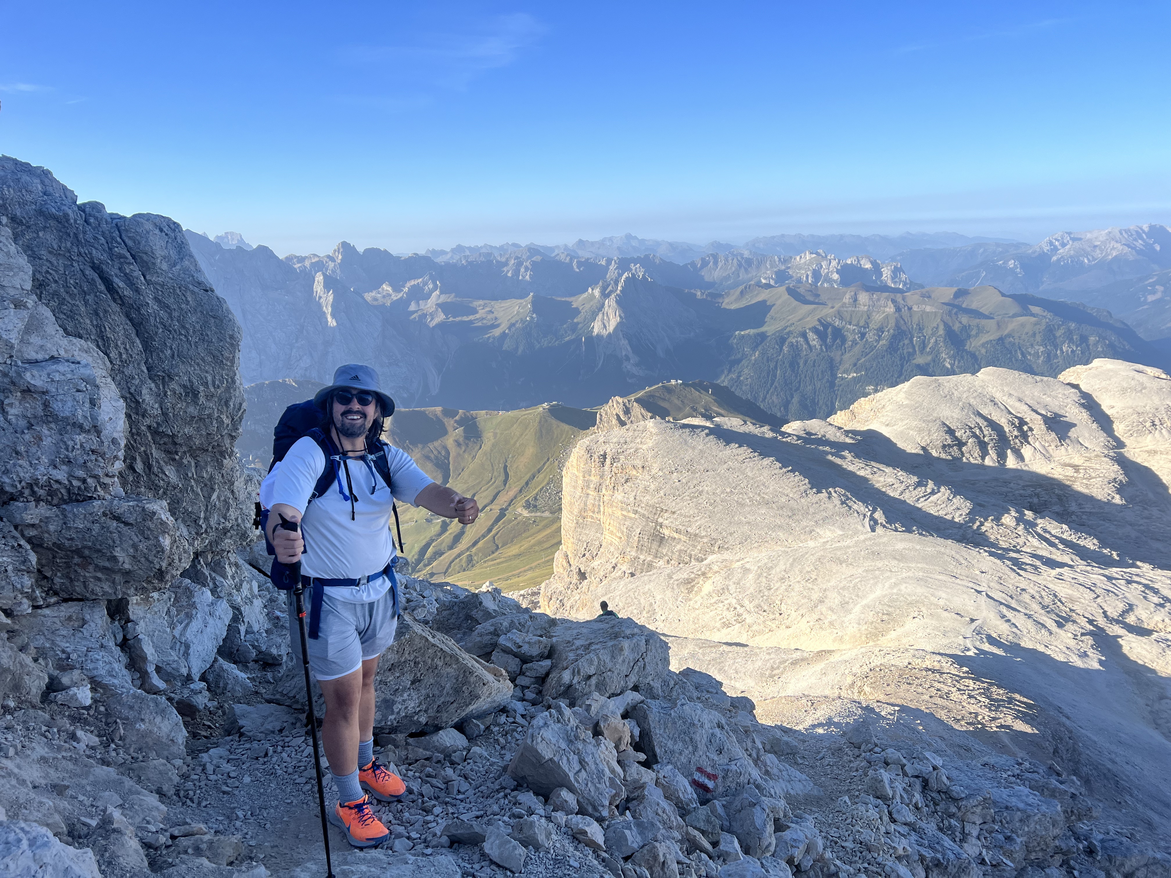
We booked 1 night at the Capanna Fassa hut built right on the summit of Piz Boè. Since this hut is very limited on space no private rooms are available. We stayed in a 3 person room in the attic. While accommodations are very basic (food was included, no showers), as expected, this was SO worth it. We captured some of our most memorable photographs from this summit. Sunset and sunrise was absolutely astonishing. Beef’s favorite part was the toilet, which required a power squat to use.
Strava link: https://www.strava.com/activities/9815057749. This section took us about 5 hours to hike.


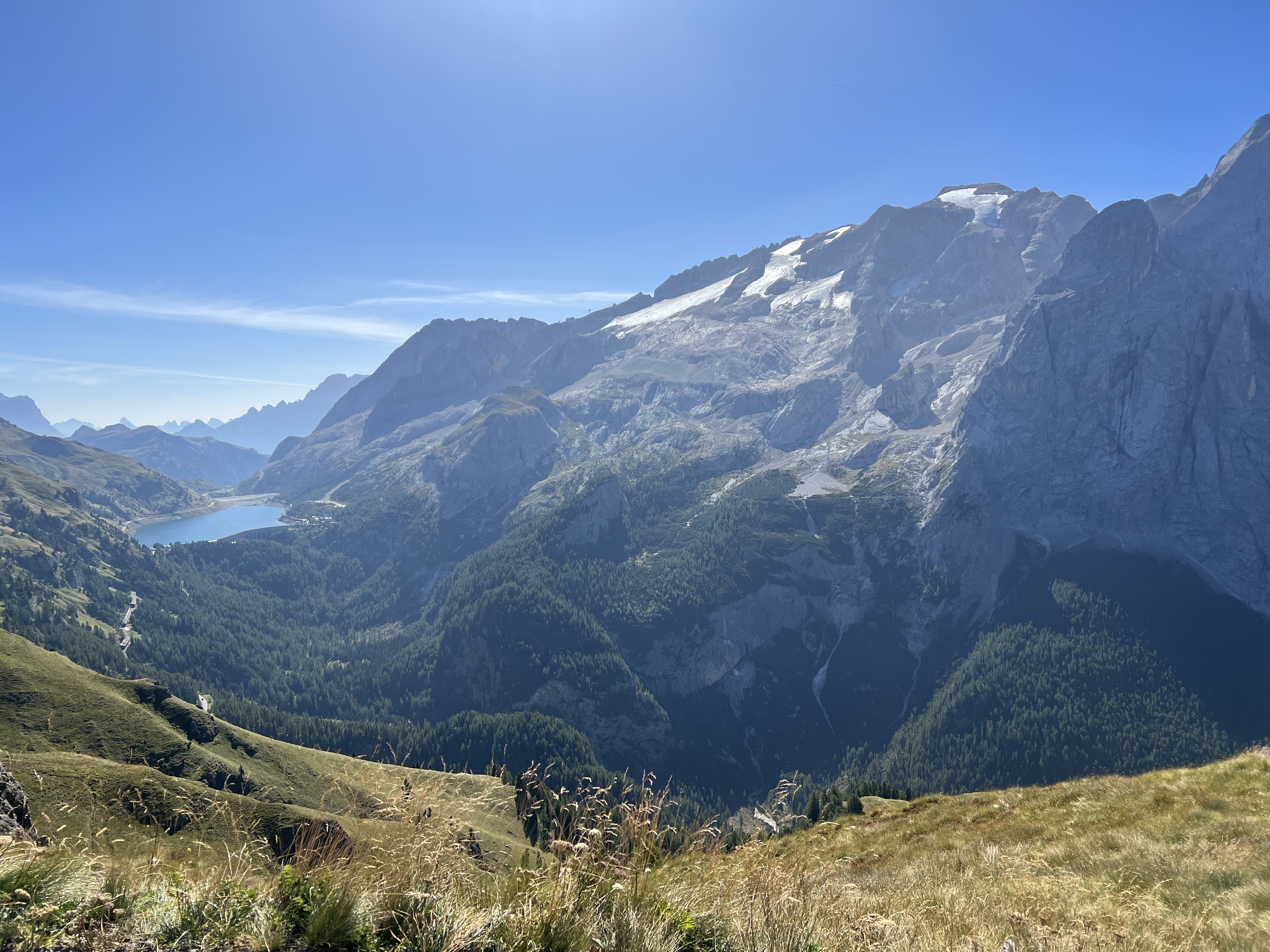
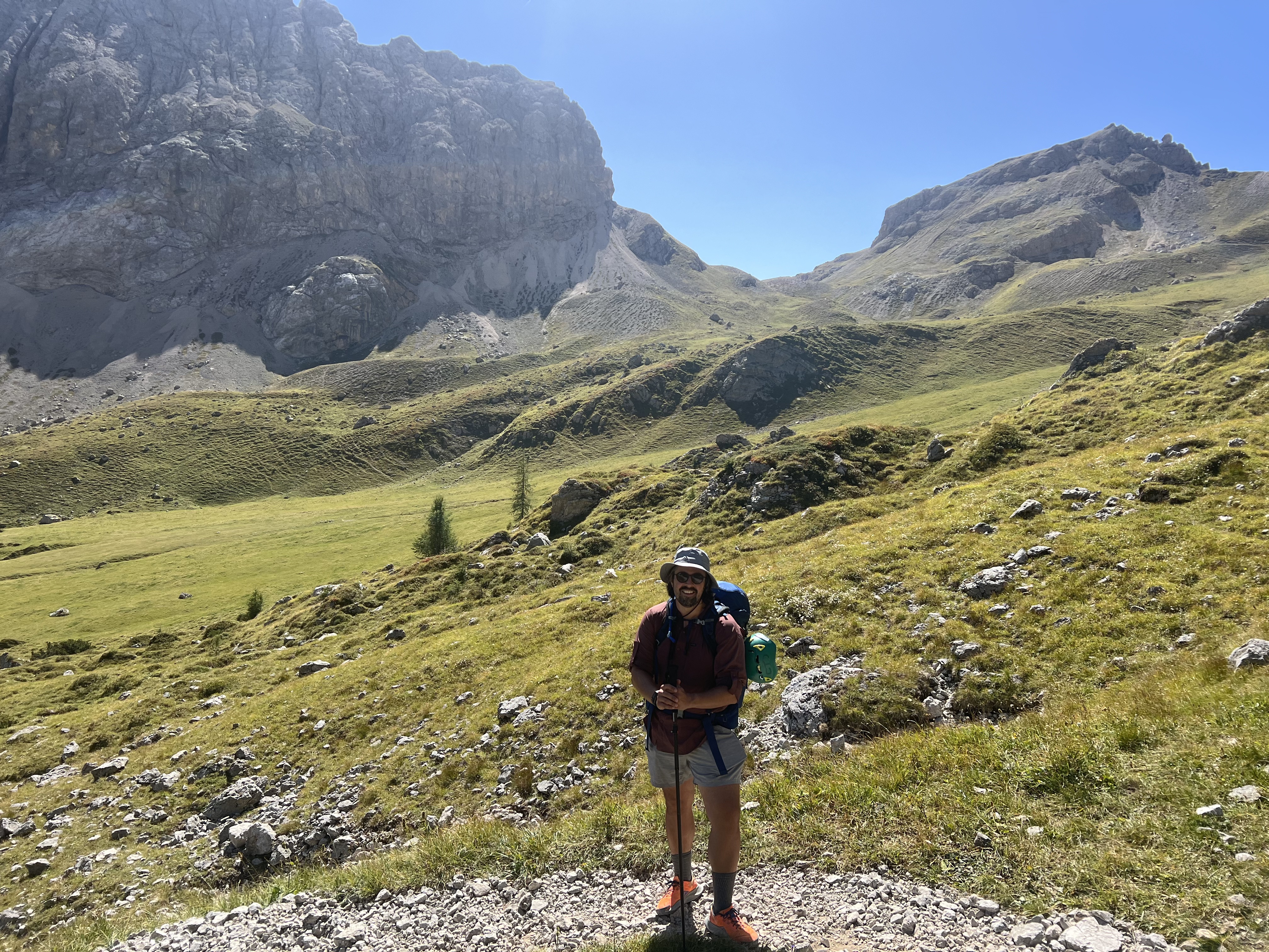
Day 4: Piz Boe to Passo Fedaia (Lake Marmolada)
8 miles, 1200ft elevation
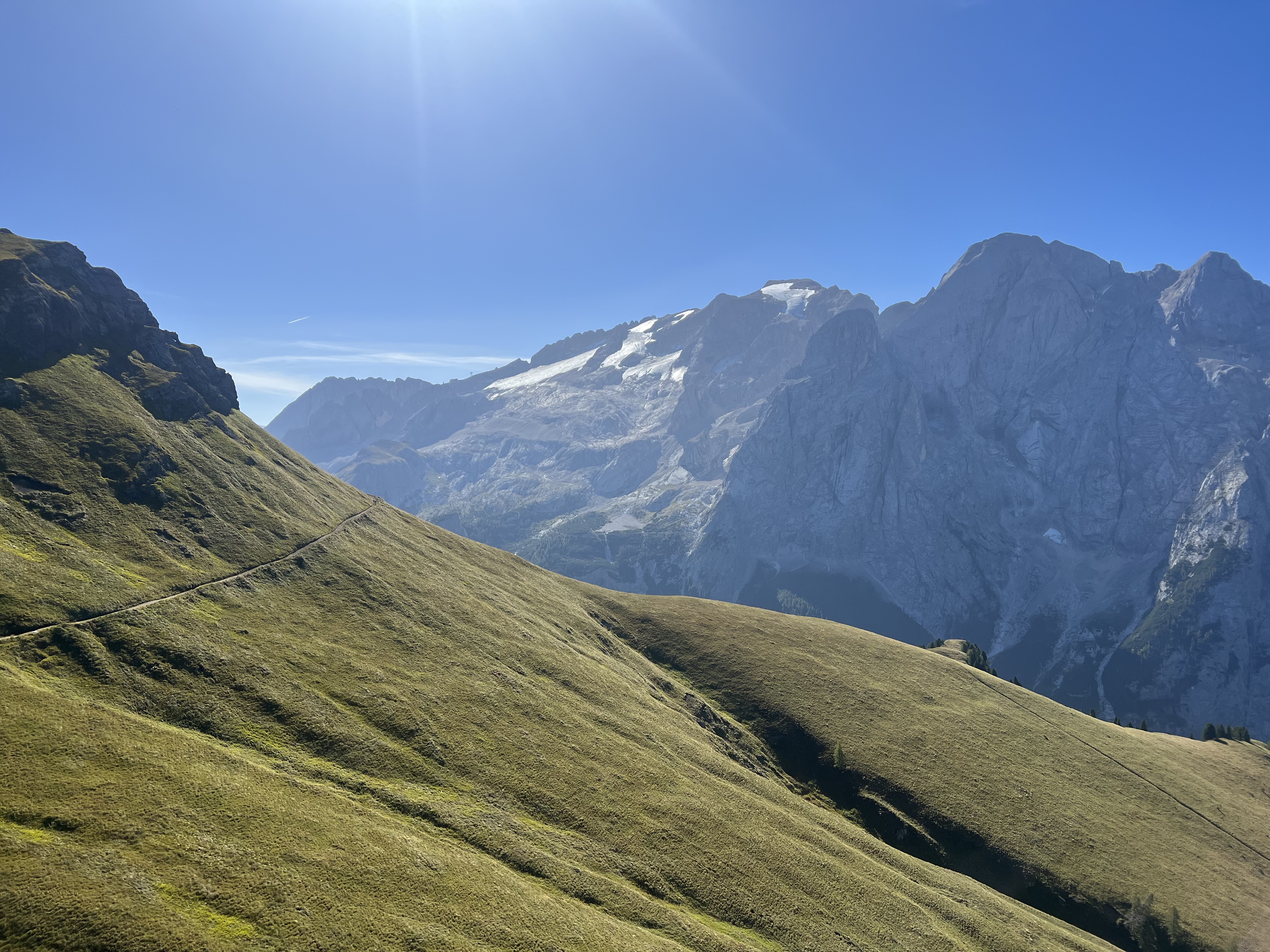
Today was a nice little break from climbing, but the downhill sections were no joke here; tough for our knees. It was still an exciting day because we got to see the Dolomites’ highest peak, Marmolada.
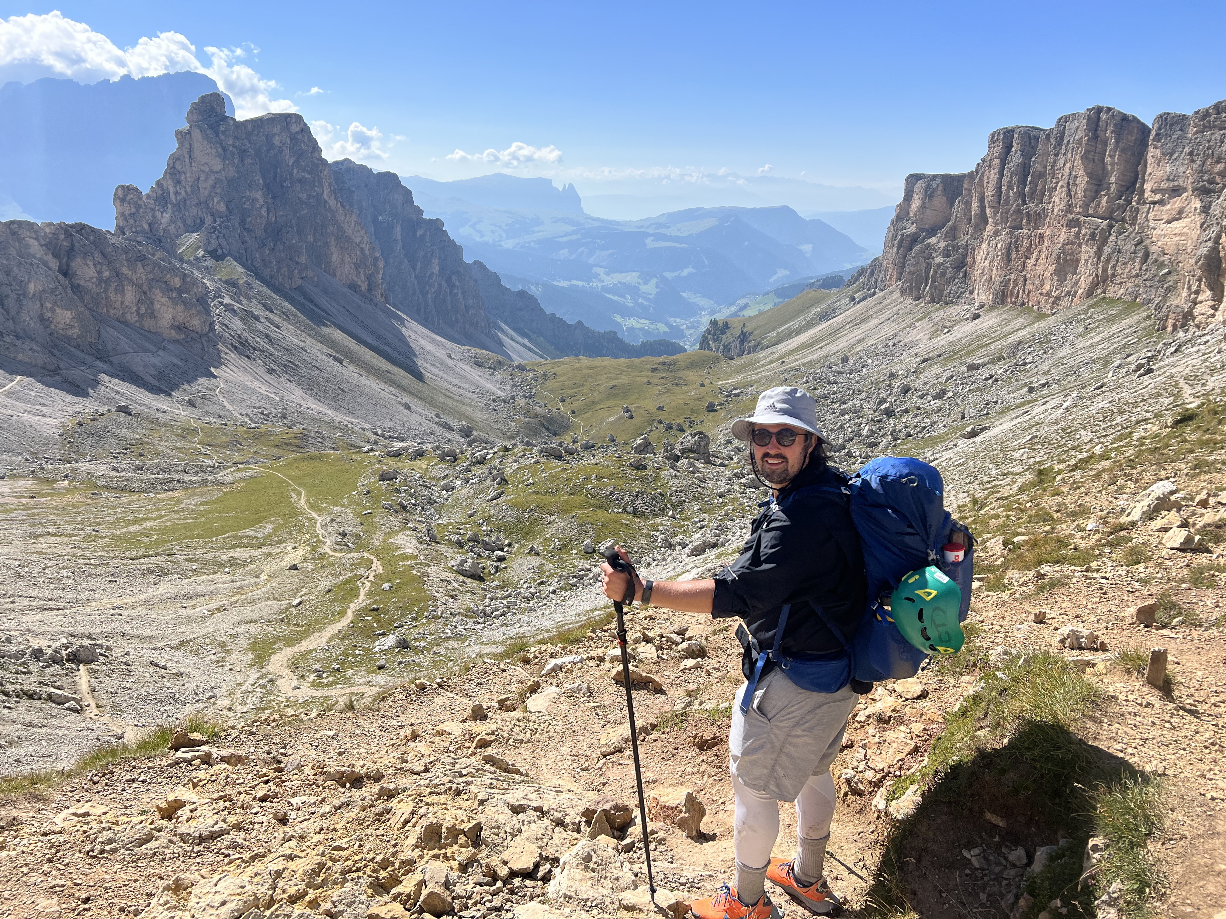
As always, we woke up early for sunrise then started our descent from the summit. This was a little bit of a technical decent so we took our time, similar to via ferrata sections. Once we got back to Rifugio Boè we stayed on path no. 627 which undulates for around 45 minutes until you reach Rifugio Forcella del Pordoi. We stopped for a nice sparkling lemonade and some yogurt and berries. From the saddle, the route drops sharply on a scree slope to Passo Pordoi. At this point, scree slopes and V were NOT friends, so we opted to hike from Forcella del Pordoi up for about 20 minutes to the Sass Pordoi cable car upper station. Taking the cable car down to Passo Pordoi saved us a painful hour on a steep slope. No regrets, Beef even tried to get it for free with our Ikon Pass, but it was to no avail.
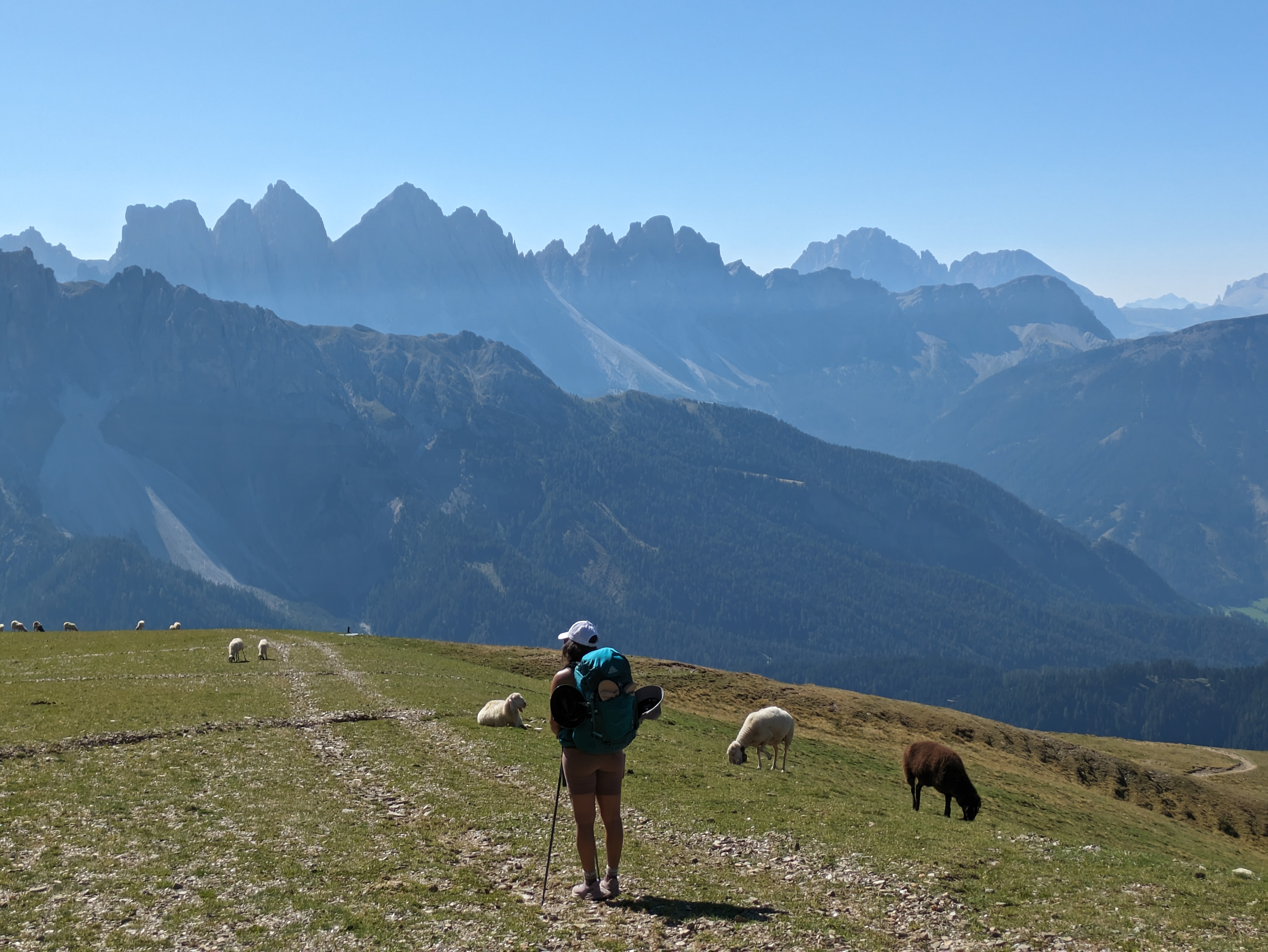
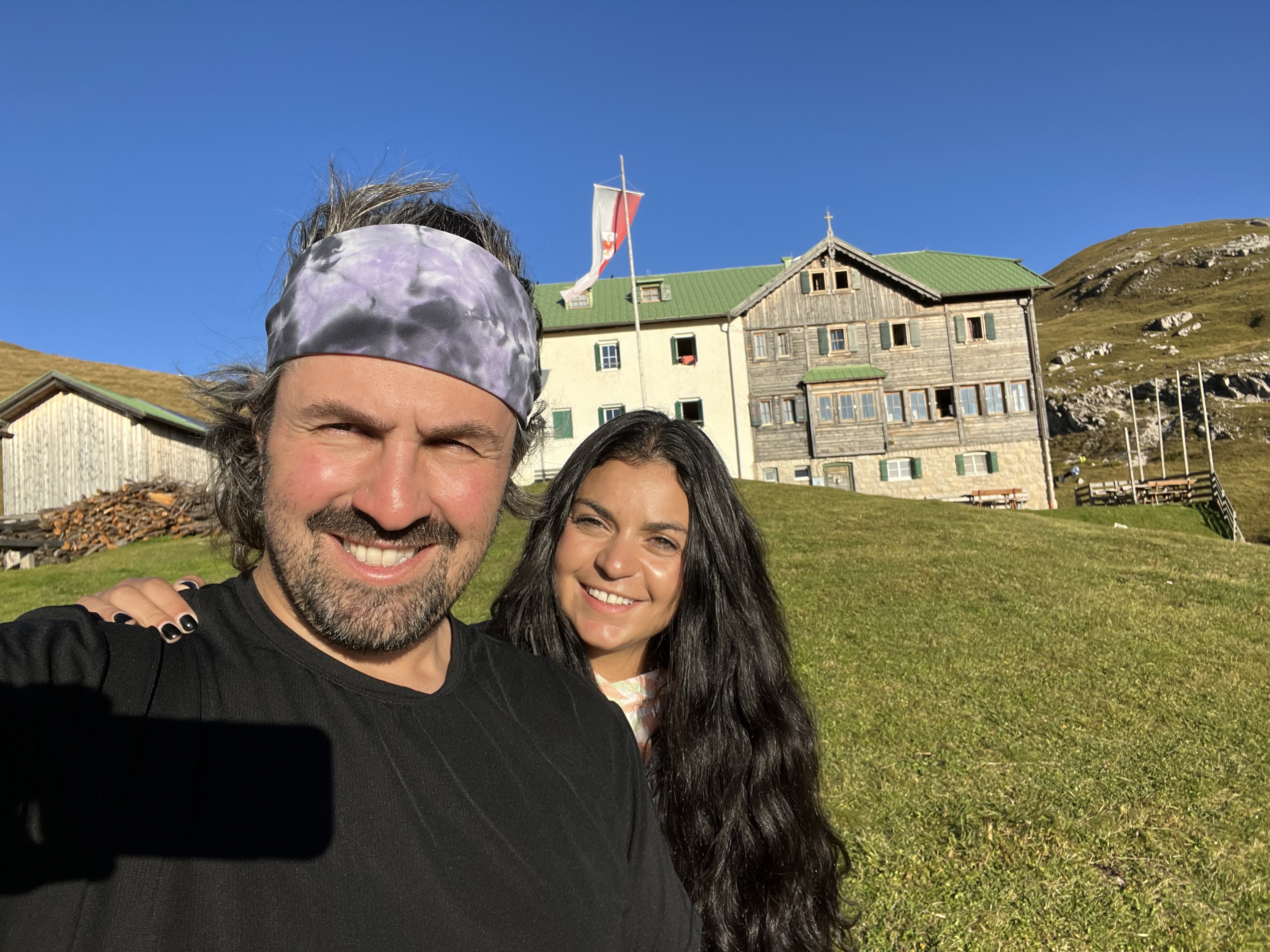
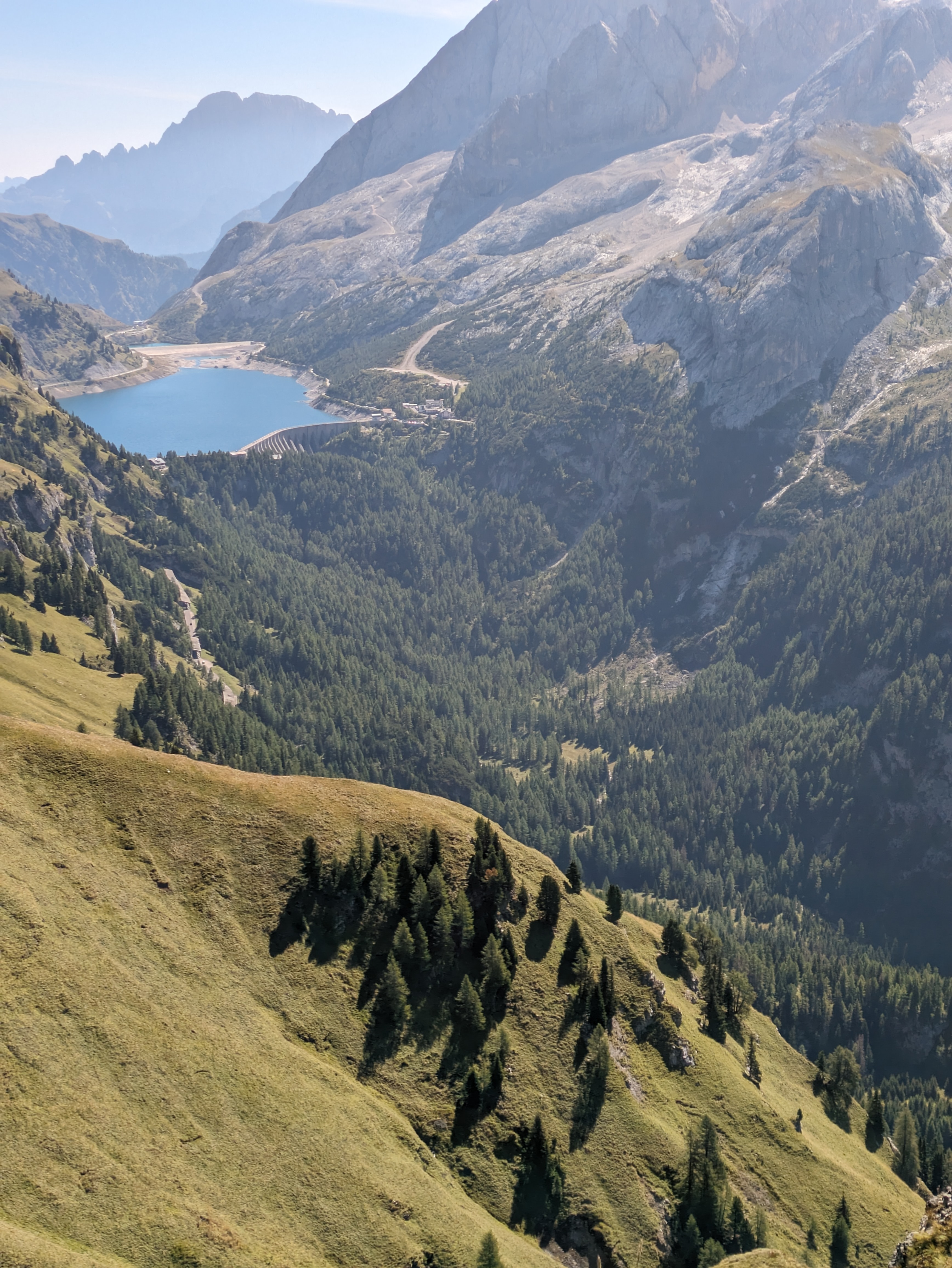
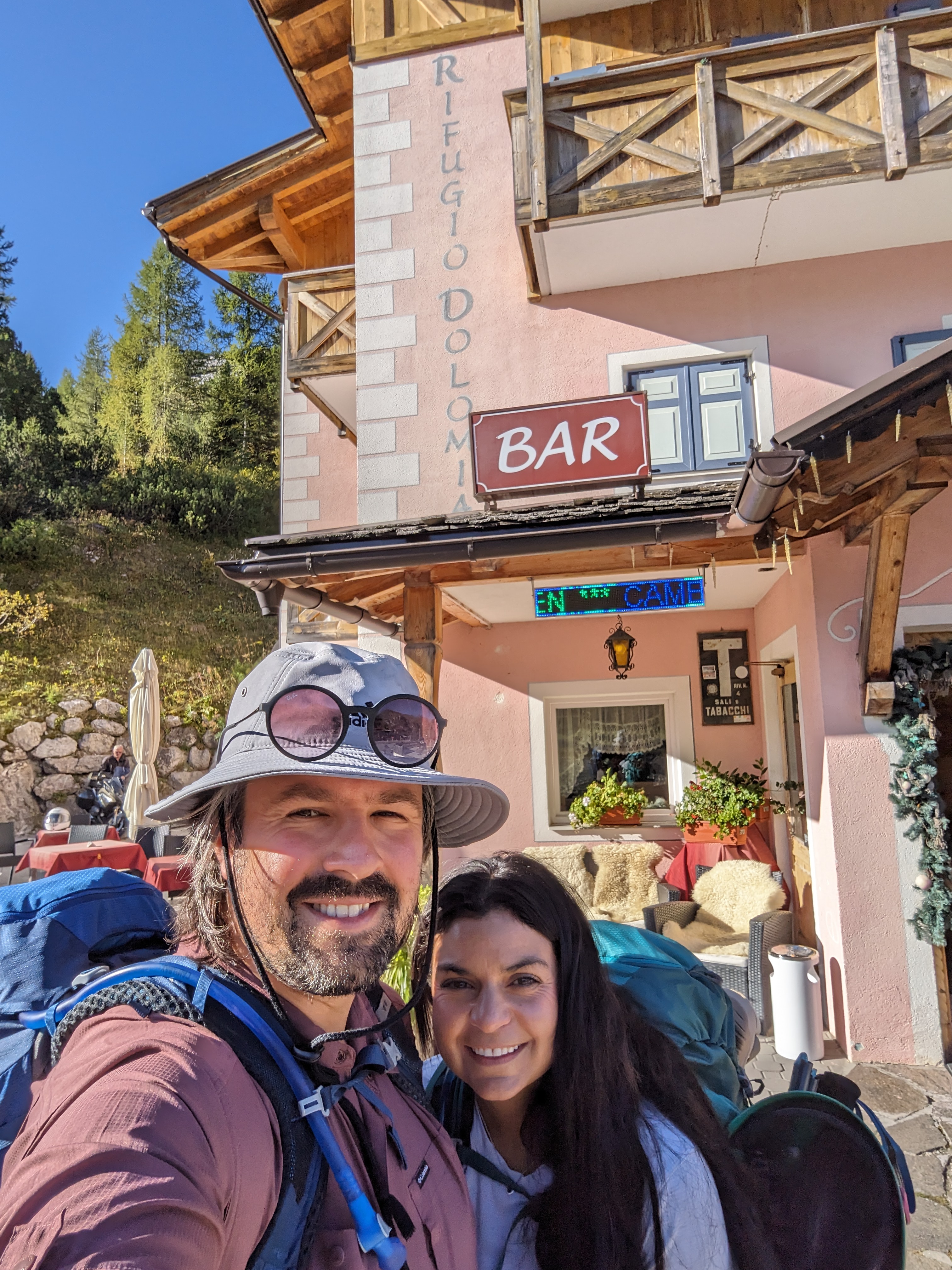
Once you reach Passo Pordoi, Alta Via 2 continues on path no. 601 through scenic green alpine meadows dotted with wildflowers, a complete contrast to the barren landscapes of the Sella massif. The day ends at the scenic man-made Lake Fedaia at the foot of Marmolada. There are a variety of accommodations on Passo Fedaia, we stayed at Rifugio Dolomia. This was the most expensive stay on the trail but it was a private room with a private bathroom/shower so it was so worth it. It also included a surprising delicious 3 course meal.
After we got into town, we showered then walked through the town stopping at a few spots for some spritz and appetizers. We had some cool tan lines at this point. V was set on the local pizza spot, but it closed early :(.
Strava link: https://www.strava.com/routes/3274170689610054502

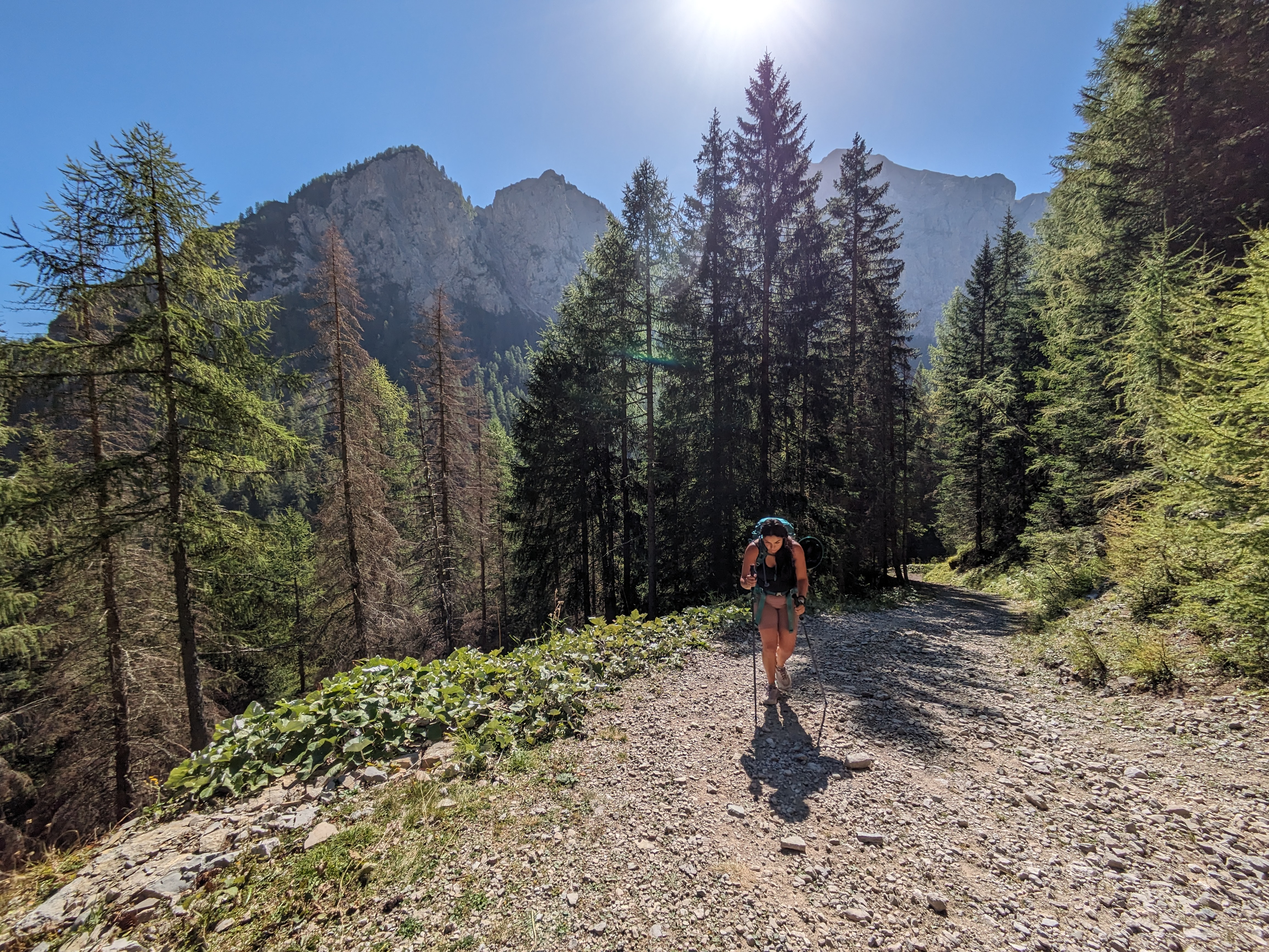
Passo Fedaia to Passo San Pellegrino.
15 miles, 4000ft elevation
This was our last day and we knew it was going to be a tough one! Today is a demanding day distance-wise. The first part of the day takes you along the paved road down to Malga Ciapella. We decided to take the bus Passo Fedaia and Malga Ciapella which saved us 3 miles walking on pavement. The bus stop was right down the road from our hotel so it was very easy to catch, we saved some time not going around the lake as stop 1 as Google Maps told us.
We walked by a tiny seasonal village is known as the gateway to Marmolada’s second-highest peak, Punta Rocca, where there are only a few hotels and a campground, there is not much. From here we spent the next few hours climbing path no. 689 to Forcella Rossa. The path started through the conifer forest then across high alpine pastures. Once we got out of the forest, there was no shade and the sun was beaming. We took a lot of little breaks during this section.
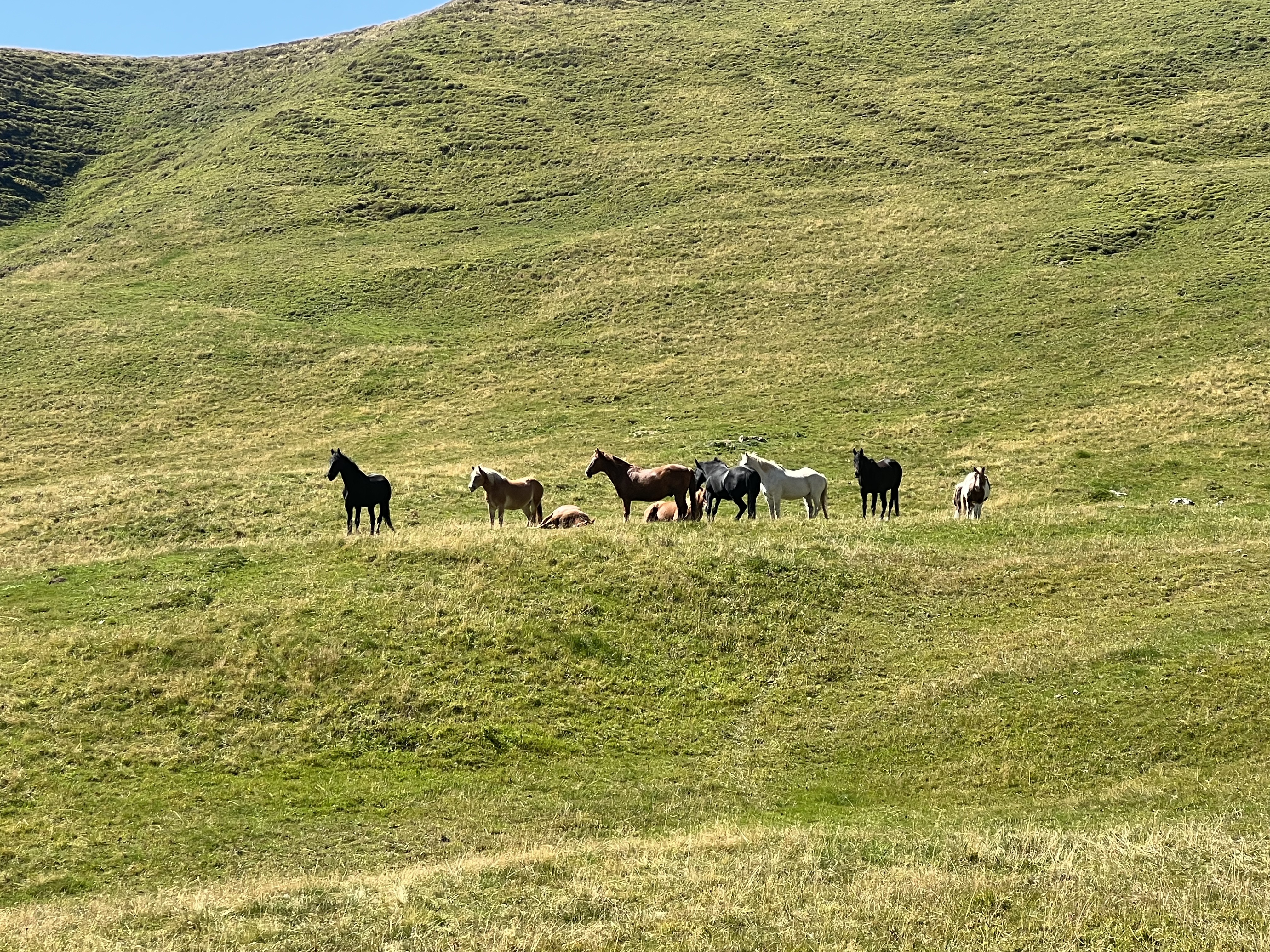
From the top of Forcella Rossa we hiked down into beautiful alpine meadows, where there were a lot of beautiful horses. We continues on the path and descended into Fuciade basin. Here there was a beautiful lodge with many cabins. We decided to stop here for some food even though we were only a few miles from San Pellegrino. We had an amazing cheese plate and a truffle potato pasta dish, sat back and enjoyed the views.
This was when V decided to look for the specific address of the hotel for the night….only to realize she booked the Costabella hotel in SPAIN. oops. This caused a lot of stress to Beef so we headed off on the trail in a hurry to make sure we could secure a place to stay.
Passo San Pellegrino is the a halfway mark for for the AV2. It’s a small alpine town with many accommodations. As we got into town we noticed a lot of hotels were closed for the season. We went into a few and after chatting with a few hotel owners we realized that it was the first weekend of off season so everyone pointed us towards hotel Costabella (the one I intended to book). So we headed that way and luckily they had availability…for a steep price but we didn’t complain! The room included dinner and breakfast and we were pleasantly surprised by the really good food and wonderful accommodation. This was a great place to stay!
The next morning we woke up early to catch the bus to Trento. After waiting for an hour, our fear was confirmed! The bus was no longer running because of the off-season despite the hotel clerk assuring us it was still running. There was another couple also waiting for this bus. Next thing we know, a sprinter van pulls up and asks if we need a ride since the bus wasn’t coming. He seemed trustworthy so we jumped on to find the van full of fellow hikers in the same position. We have no idea how this van came to be but they did us a serious solid and dropped us off 30 minutes away in another town where the bus was running! The end to a truly amazing experience, one we will continue where we left off and do Alta Via 1+.
Strava link: https://www.strava.com/routes/3274170889352714086. This stage took is 6 hours

Leave a comment